We did the 575 mile drive back down the gravel Dempster Highway from Tuktoyaktuk to Dawson City in two long driving days.
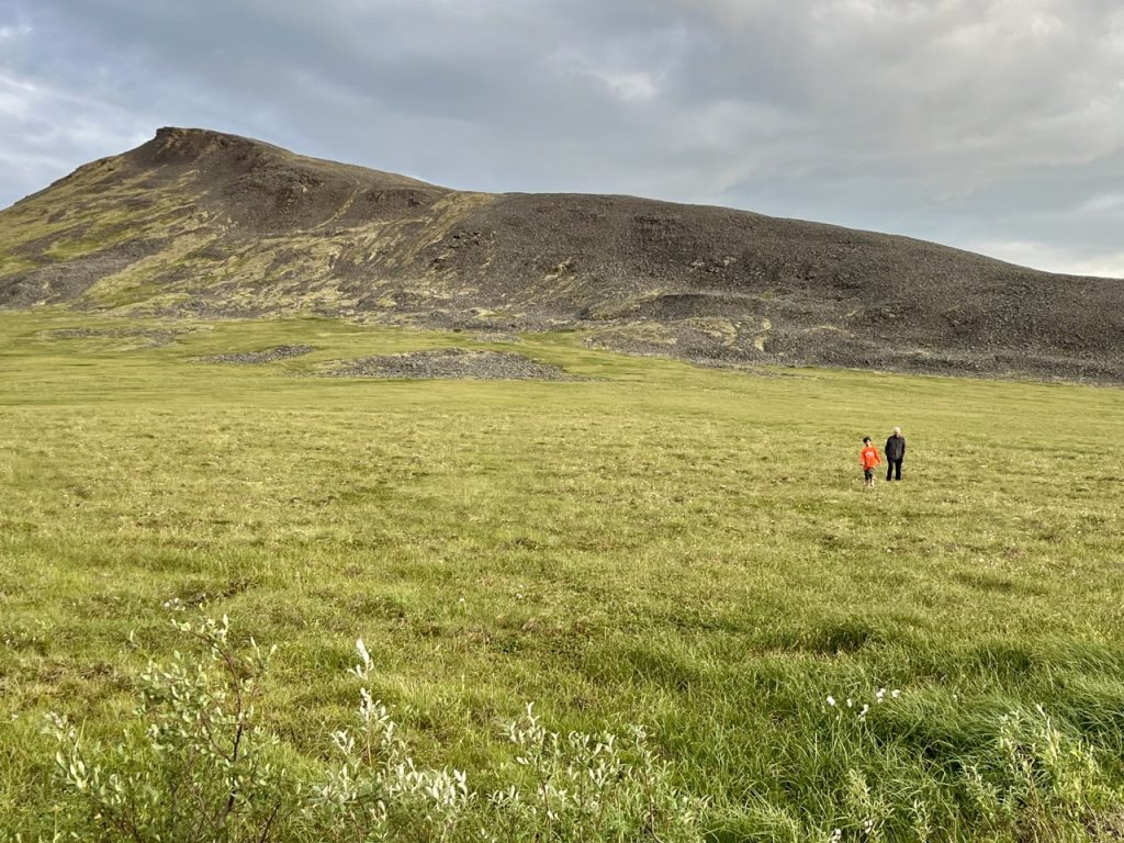
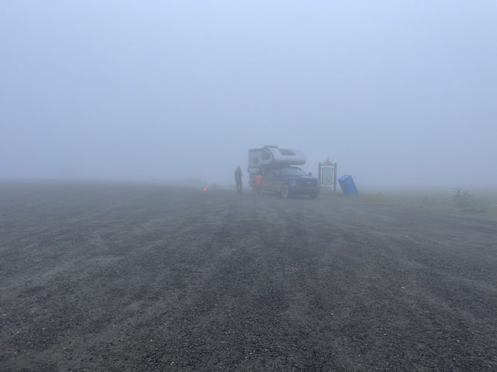
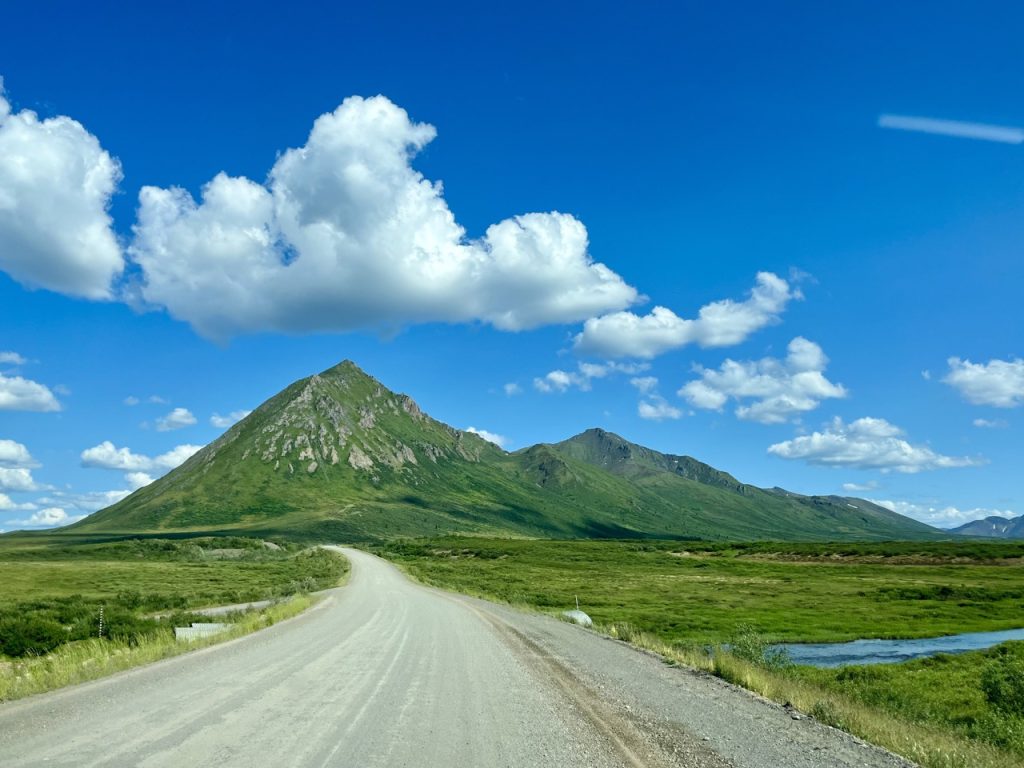
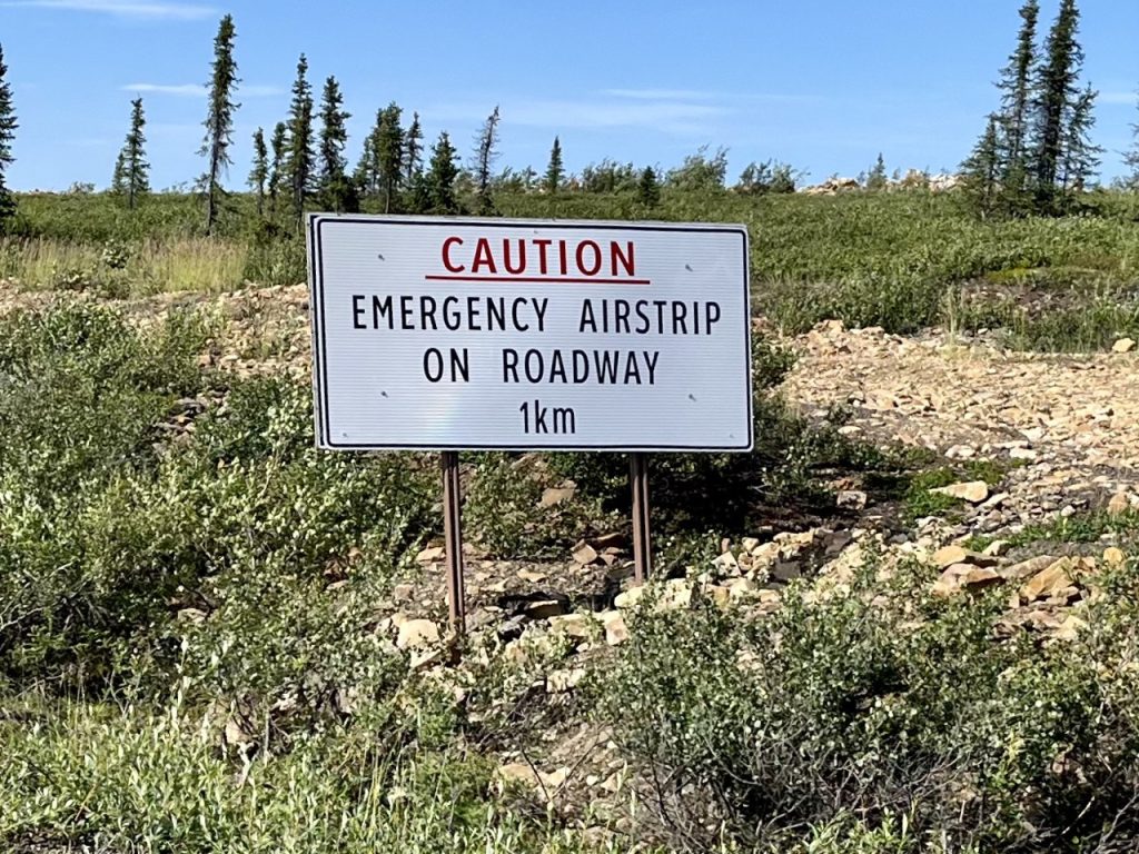
We did the 575 mile drive back down the gravel Dempster Highway from Tuktoyaktuk to Dawson City in two long driving days.


After a little sleep at Rock River Campground we got up, fed the mosquitos, had a hurried breakfast, and got going again.
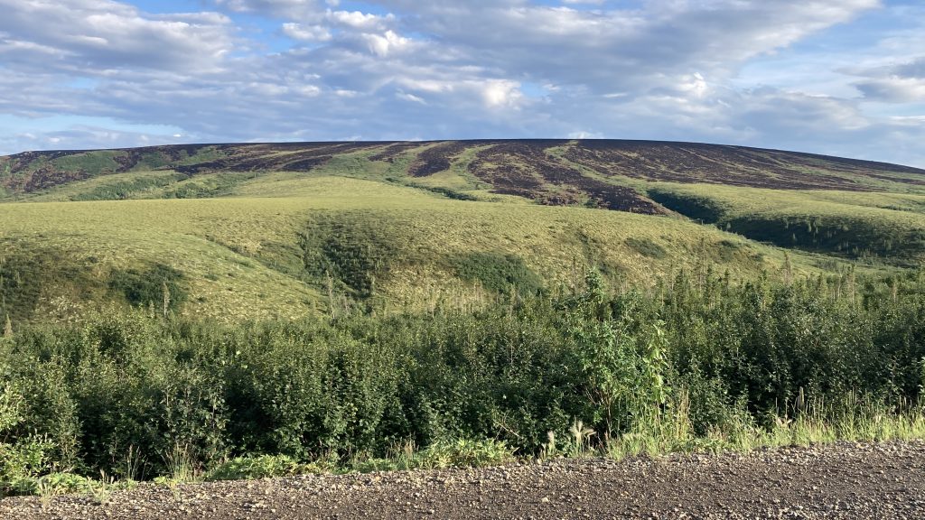
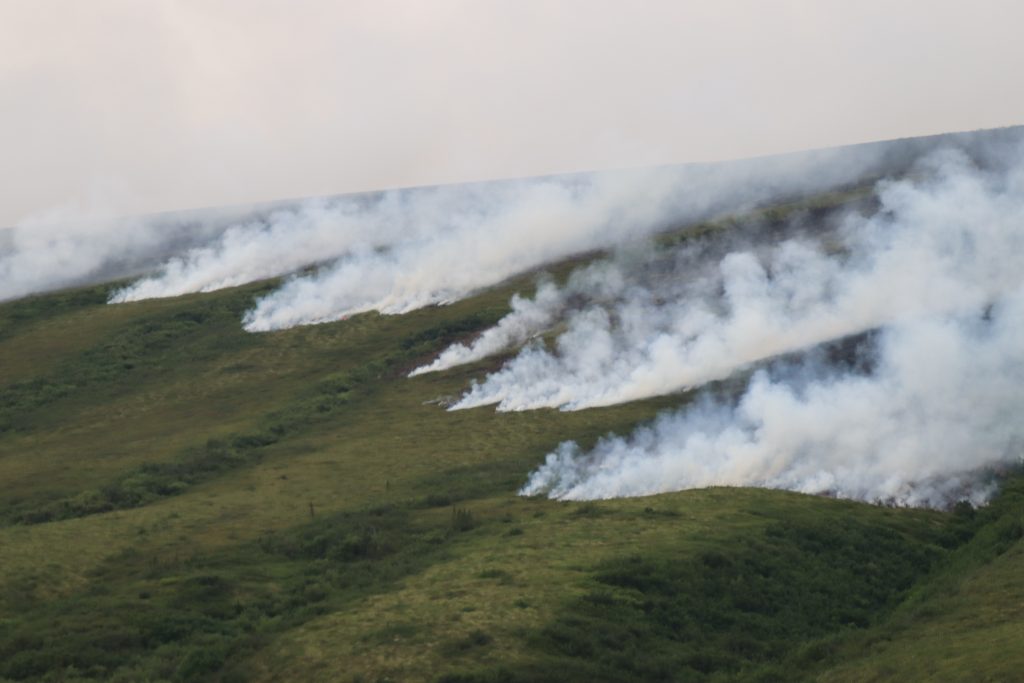
After an hour or two we got to the wildfire that had closed the Dempster Highway. The wind was blowing the smoke away from the road, which was a good thing because in some places the fire was only a few hundred feet from the road.
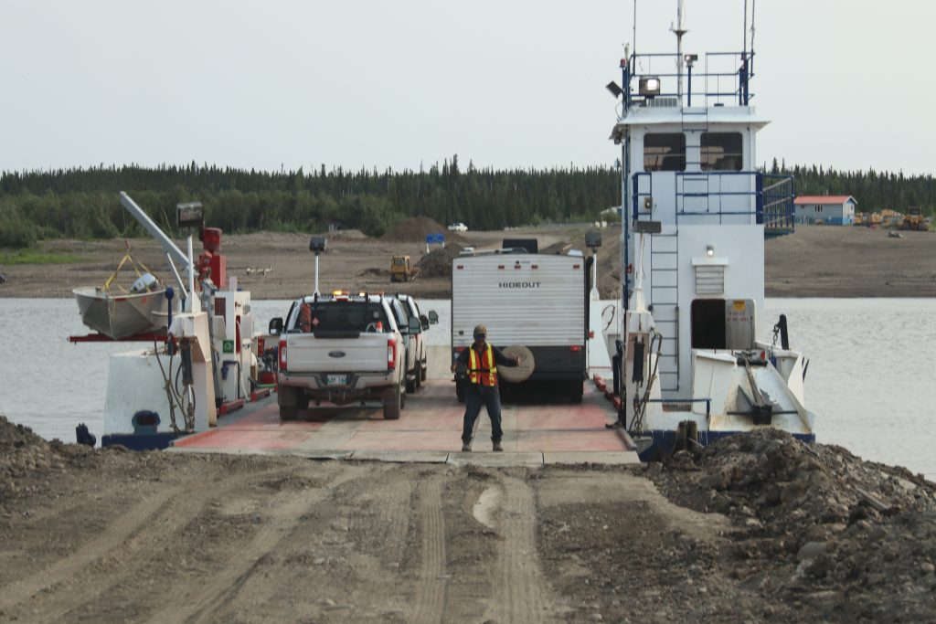
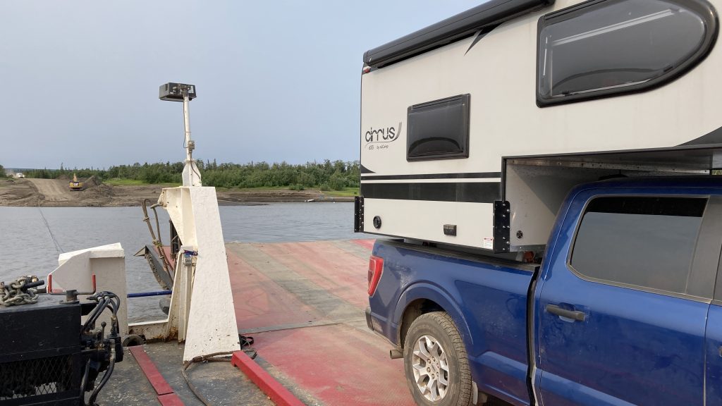
After we passed the fire three work trucks sped past us. Forty five minutes or so later we arrived at the Peel River ferry and were amused to see all three cooling their heels on the waiting ferry. We drove straight into the last spot and the ferry took off as soon as we had come to a complete stop. Nice.
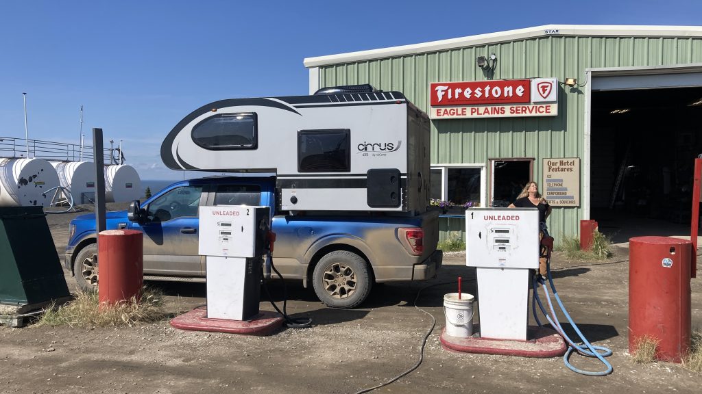
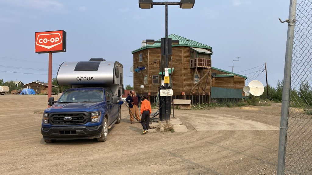
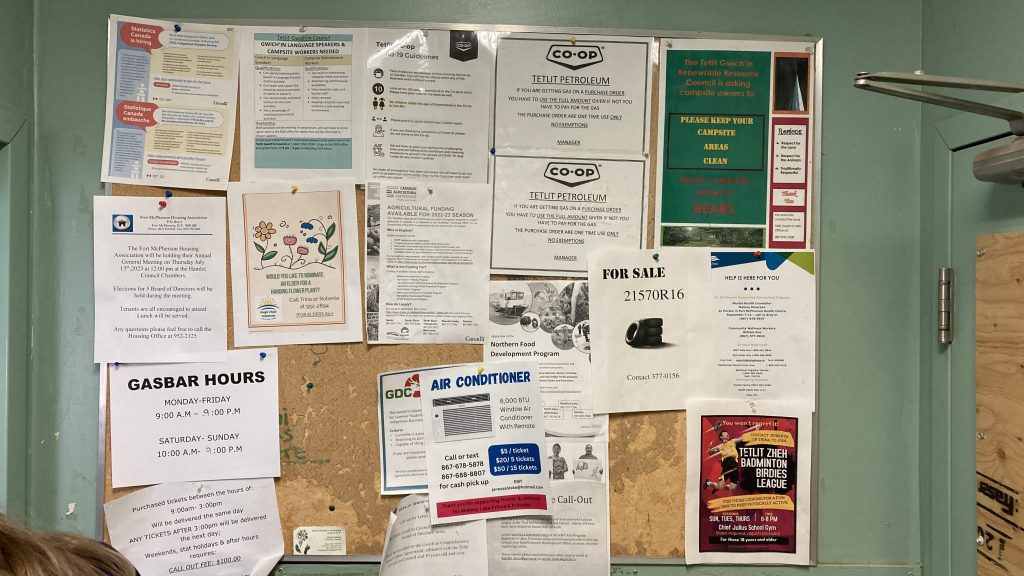
A bit past the Peel River ferry we got to tiny Fort McPherson, the first community with services since leaving Dawson City 367 miles earlier. We stopped at one of the two gas stations to fill our big tank at the price of CAD 2.11/liter, which works out to USD 6.04/gal.
A bit past Fort McPherson we got the the Mackenzie River ferry. I learned from one of our tourist guidebooks that the Mackenzie River, which I don’t think I’d ever heard of before now, is the third largest (in flow) river in the Americas, after the Amazon and the Mississippi.
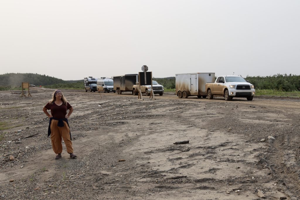
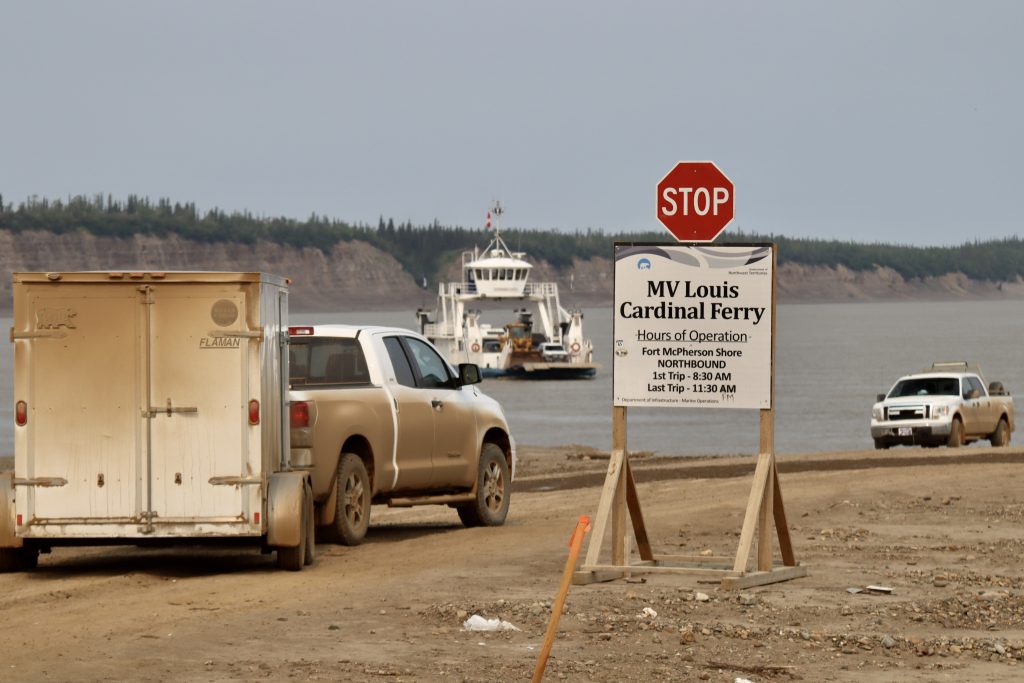
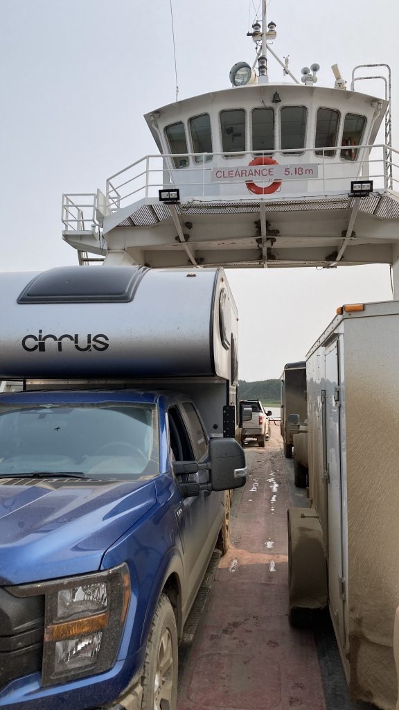
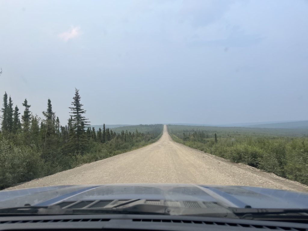
After that last ferry we had a few hours of easy driving to Inuvik through the tundra on probably the best gravel road we’ve ever driven on. It was a smoother ride than a lot of roads in Tucson and it was easy to cruise along at 55 mph.
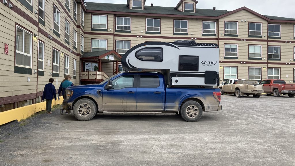
Having had enough of sleepless nights, mosquitos, and dust, the first thing we did when we got to Inuvik was check into the Capital Suites Hotel and take our first showers in nine days.
We decided to wait until the Dempster reopened before leaving Tombstone Territorial Park, so we settled down to wait. I took a nap in the afternoon and when I woke up around 5pm I decided to check the Government of Northwest Territories Dept. of Infrastructure Twitter account to see if there was any news:
Even though it was late in the day, it never gets dark this time of year up here so we decided to start driving up the Dempster and stop when we got tired.
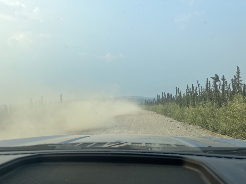
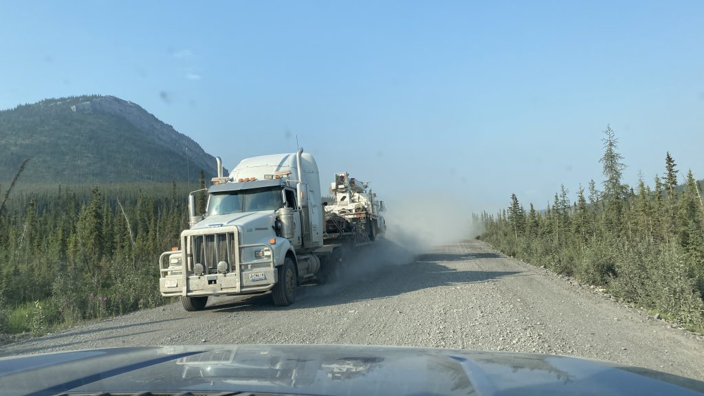
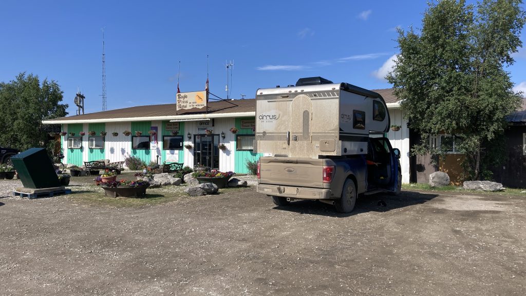
Around 10pm we got to the Eagle Plains roadhouse (a combo hotel, restaurant, bar, gas station, mechanic, and campground), the only services in the 367 mile stretch between Dawson City and Fort McPherson. Everything but the bar was closed. The bartender said the Dempster was still open so we kept going.
We made a quick stop at the Arctic Circle around 11pm to take some pics but didn’t linger because the mosquitos were pretty bad. The Arctic Circle is the lowest latitude where the sun doesn’t set on the Summer Solstice (June 21)
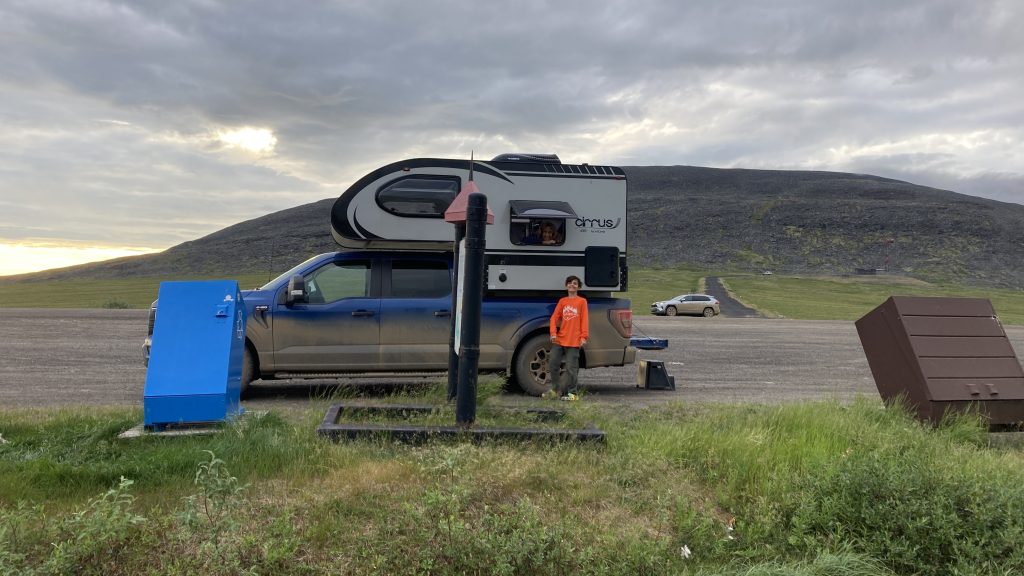
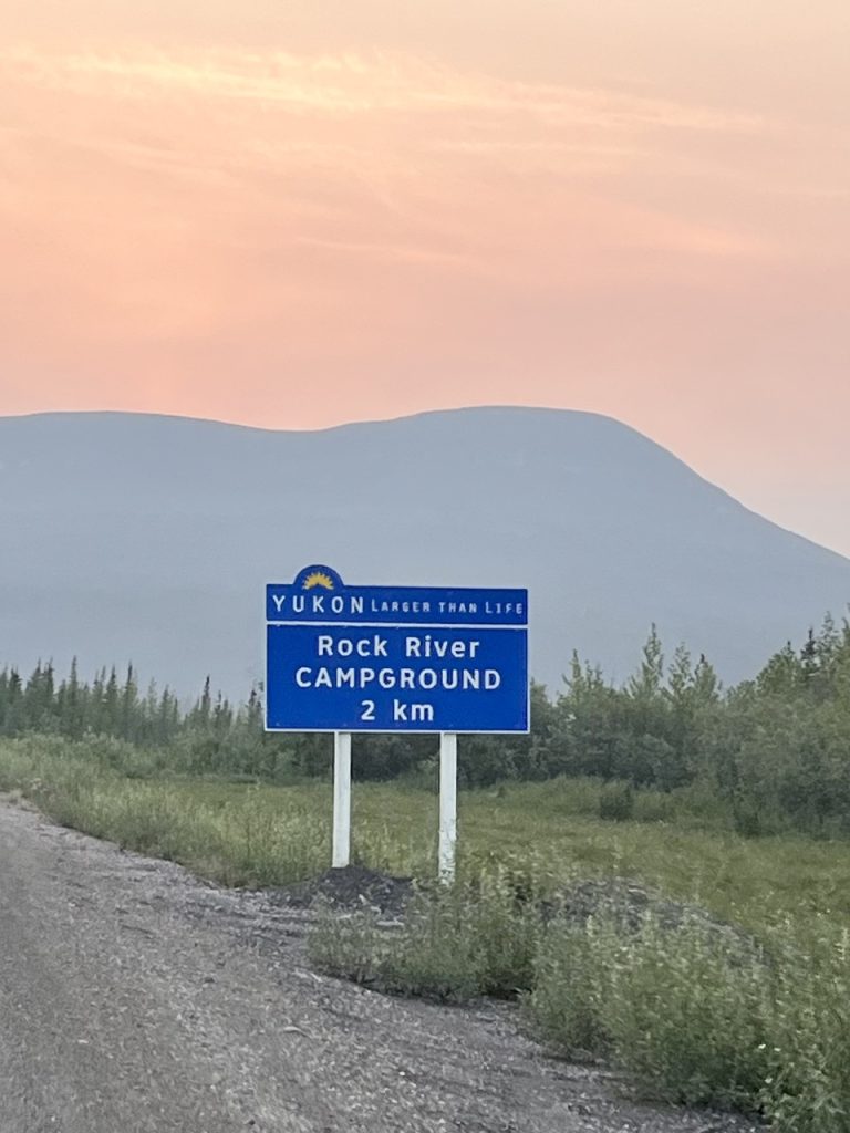
Around 1am it was still light, but we decided we’d had enough and stopped at Rock River Territorial Campground. The mosquitos were much worse than at the Arctic Circle. The second any of us stepped outside swarms of mosquitos started feeding on us. Every time we opened the door for a second or two dozens of mosquitos got into the rig and we all had to spend a few minutes killing mosquitos. After we finished the last mosquito massacre we did our best to get a good night’s sleep despite the sun still being up.
(Tween Kid cashed in another birthday coupon so this blog post is by Pa)
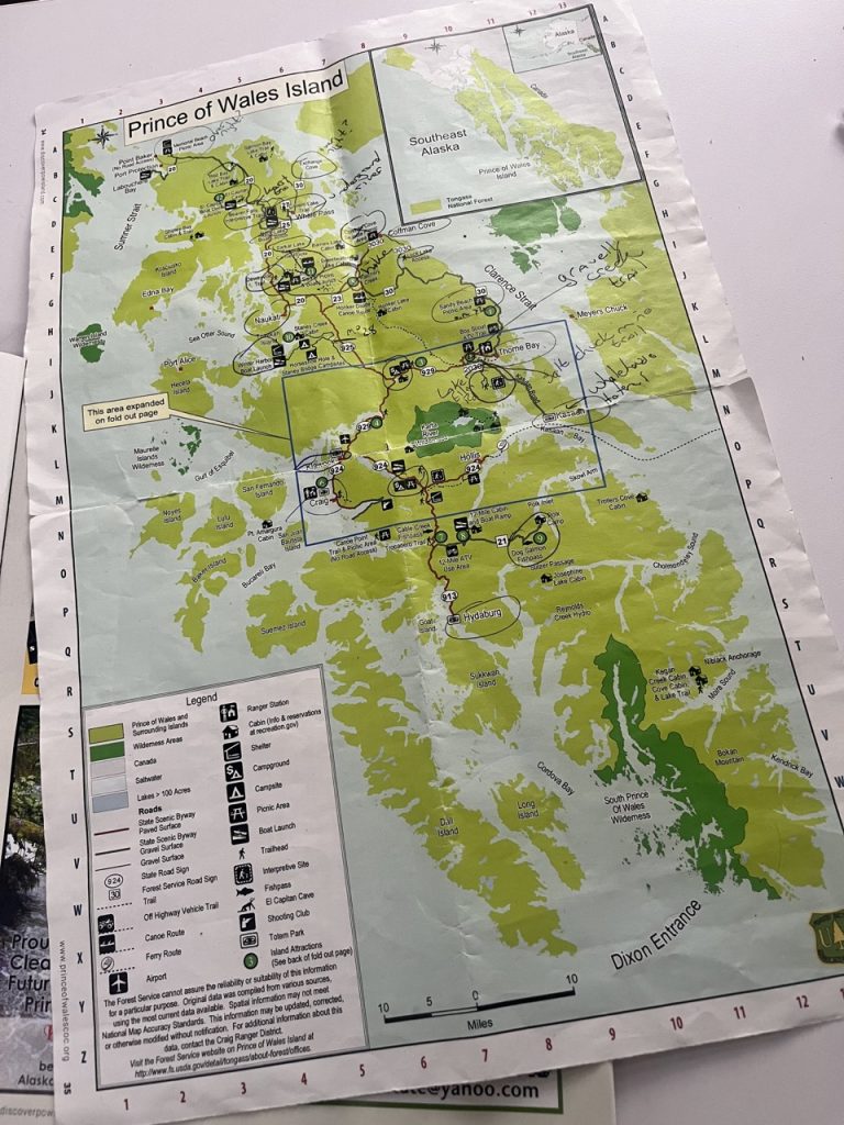
We ended up spending twice as long as we planned on Prince of Wales Island due to the ferry being down for a week, but it turned out to be a good thing because P.O.W. has a lot to see.
Our original plan was to take the three hour Ketchikan to Prince of Wales ferry on Saturday June 17, then return to Ketchikan on the same ferry on Saturday June 24, and then go from Ketchikan to Juneau on the MV Columbia departing June 25.
When we had only been on Prince of Wales for a few days we got a voicemail from the Alaska Marine Highway System saying that our June 25 sailing was canceled because of mechanical problems with MV Columbia, but we were in first place on the waiting list for the July 2 sailing, assuming they could fix Columbia in a week.
We fired up our Starlink satellite internet and started changing upcoming camping and ferry reservations in light of our new schedule. Given the delay of a week we decided to cancel the reservations for our stay in Juneau and take the July 2 ferry all the way to Skagway, assuming a spot opened up for us.
A few days after that we got another voicemail from the Alaska Marine Highway System saying a spot had opened up and we were confirmed for the July 2 sailing. This article about the Columbia breakdown says that lots of people who got bumped are having to take ferries weeks later, so we were lucky to somehow get first place on the waiting list.
It was probably a good thing that the ferry broke down because a single week wouldn’t have been long enough to see and do everything on Prince of Wales.
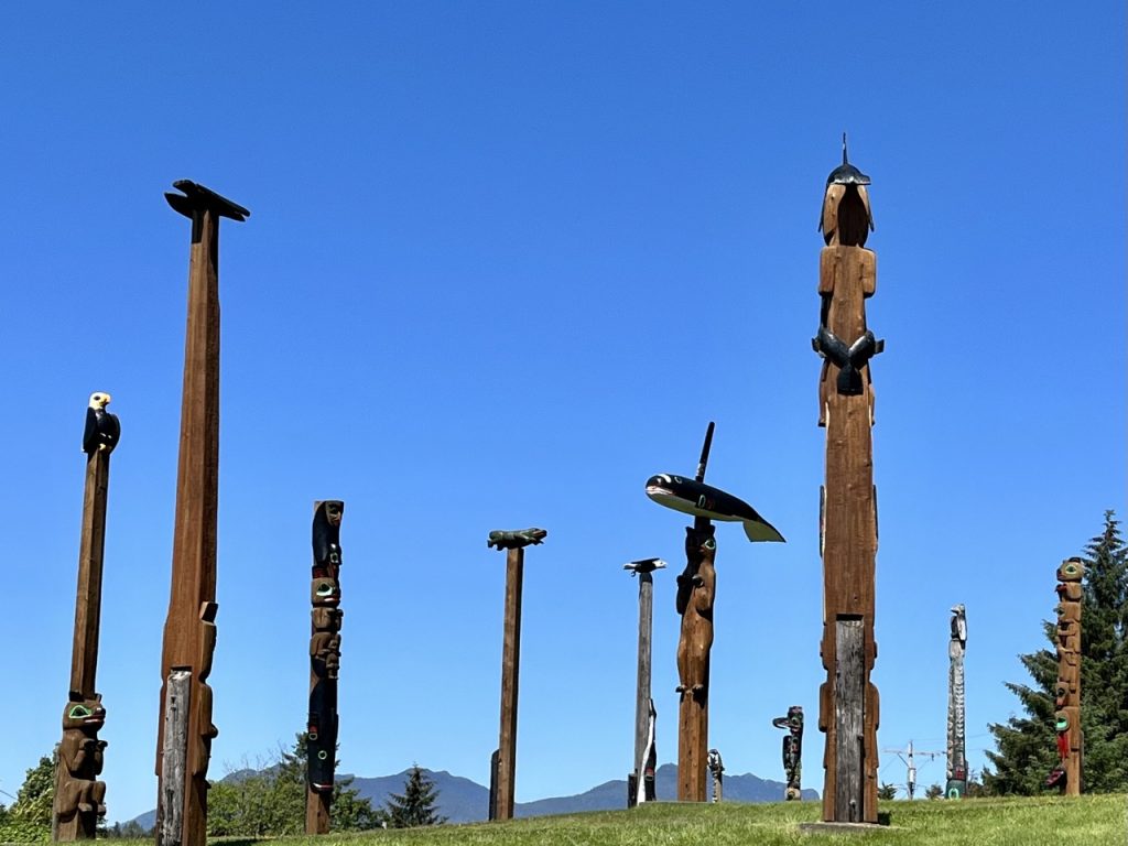
Prince of Wales Island is the fourth largest island in the United States, behind the Big Island in Hawaii, Kodiak Island in Alaska, and Puerto Rico. Despite being bigger than Rhode Island or Delaware, there are only around 6,000 people living on Prince of Wales, most of whom live in the towns of Klawock and Craig, with the rest in a number of small villages, some of which are only accessible by boat or seaplane. For years the P.O.W. economy was centered around logging, but with most of the old growth forest gone the logging has slowed.
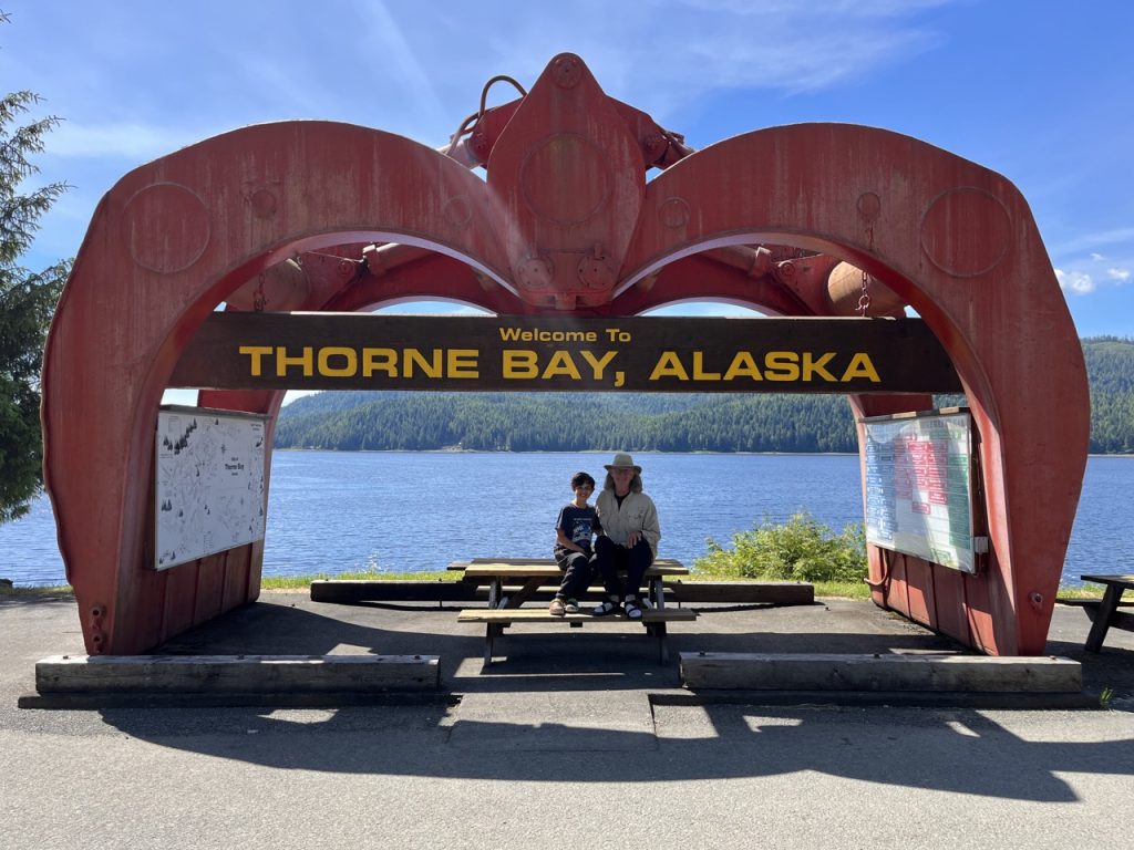
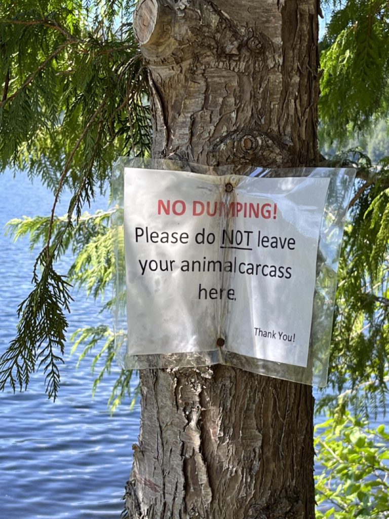
Our first clue that Prince of Wales was going to be a different experience than Sitka or Ketchikan came when we got to our first campground. We had the whole campground to ourselves and the handles had been removed from the water pumps. As it turned out, we only saw maybe six other tourists in our two weeks on P.O.W. and only had three nights where we shared a campground with someone else. While some tourists fly in to stay in fishing and hunting lodges, very few tourists seem to travel around P.O.W.
Because few outsiders visit, the people on P.O.W. seem to be able to spot visitors instantly. When we spent a sunny day on the lovely Sandy Beach near Thorne Bay a local lady approached Ma to find out who we were because she didn’t recognize us. She ended up telling Ma to swing by her house (“yellow house, across the street from the church”) if we needed anything during our stay.
The P.O.W. residents we ran into were all very friendly and many of them seemed eager to spend time chatting. We found some of the best places on P.O.W. thanks to tips from locals. Ma also heard some spicy local gossip.
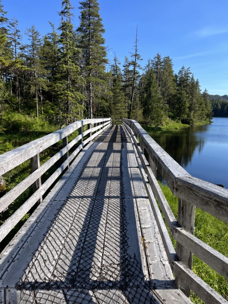
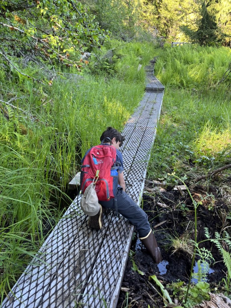
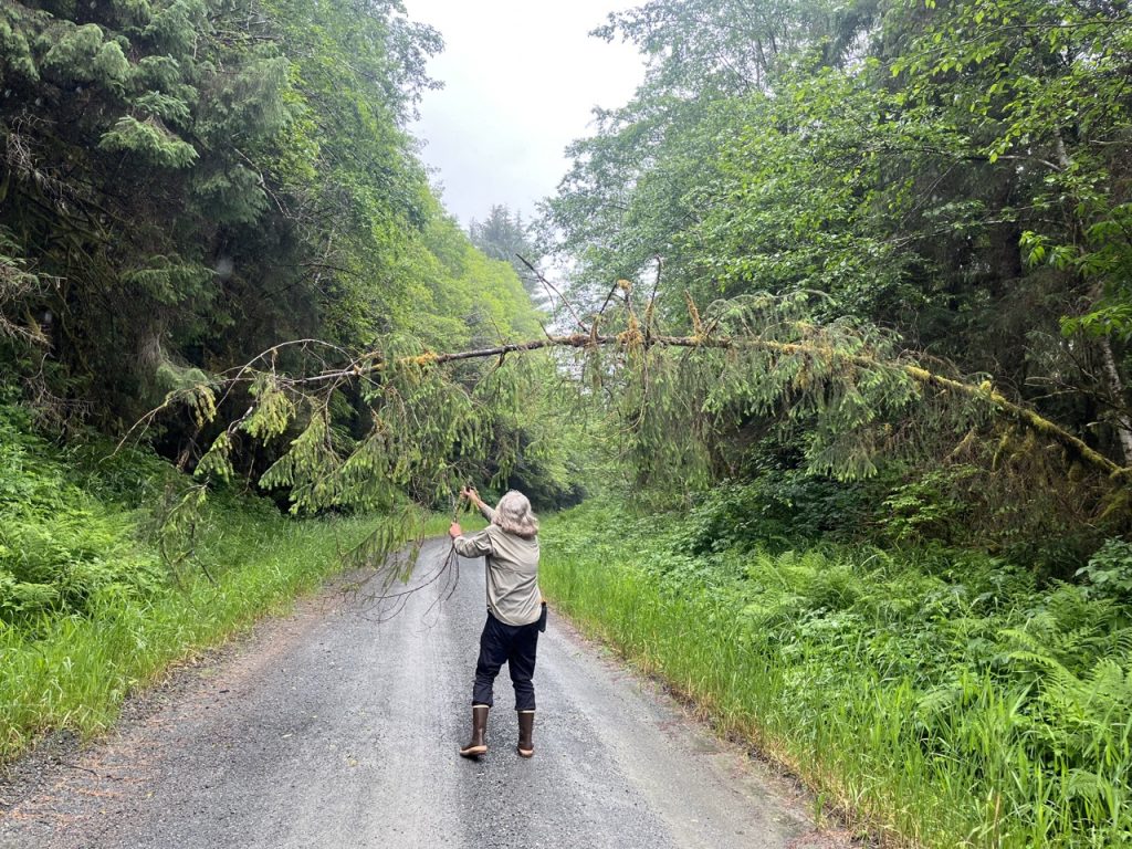
The rainforest in Southeast Alaska is really remarkable; they get 13 FEET (not inches!) of rain a year, plus super long days in the summer. That combination fuels relentless plant growth. The forests are so dense with trees and understory growth that it’s very difficult to travel off trails. The forest floor consists of fallen tree trunks and branches in various stages of decay covered by layers of wet moss and decayed wood. The ground is so wet and spongy that almost every manmade structure on the island, from roads to trails to houses to campsites, is built on piles of crushed rock blasted from the many roadside gravel pits.
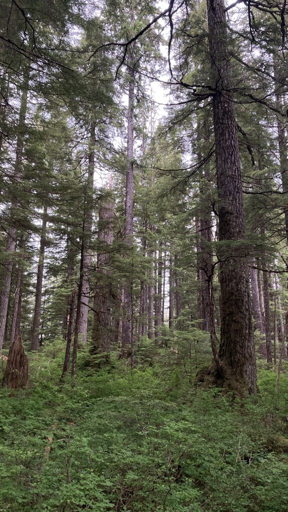
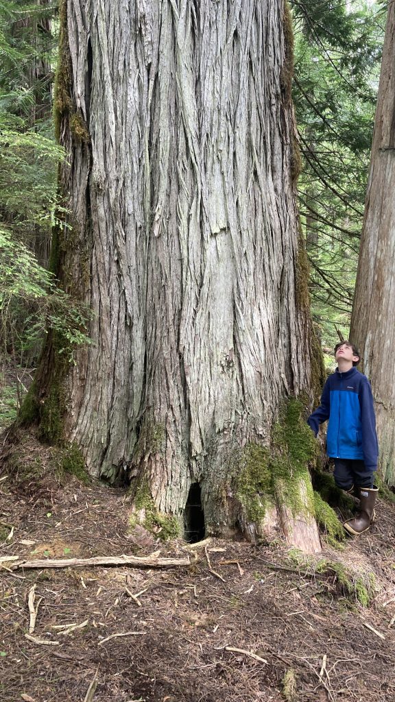
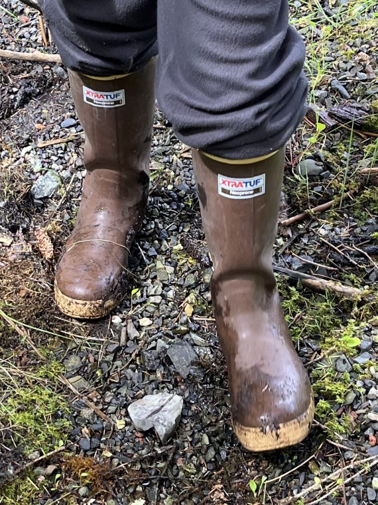
We spent most of our time on P.O.W. visiting the excellent Forest Service campgrounds, trails, and picnic areas.
Our first hike on P.O.W. was on the Harris River Trail. It started out with the boardwalks and bridges that the Forest Service uses to make the spongy rainforest navigable, but a few miles in we found ourselves thrashing through chest high plants. Then we got to the Harris River and discovered there was no bridge so we had to find a shallow area to ford it. Unfortunately the water was still deeper than our boots, so we spent the rest of the hike with wet socks and sloshing boots. After eight miles of hiking, we were happy to get back to camp and put on dry shoes.
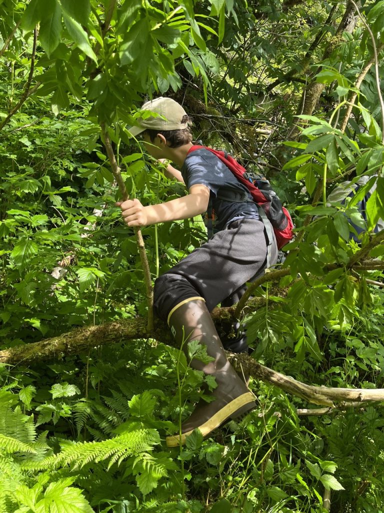
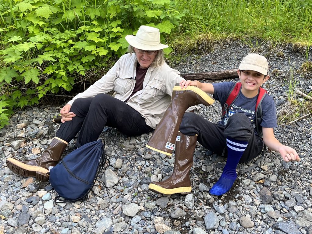
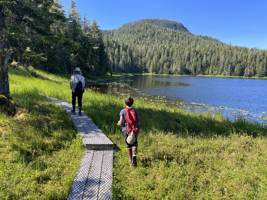
Our next hike was on the Ball Lake Trail at the Eagles Nest Campground. The trail circled the beautiful lake.
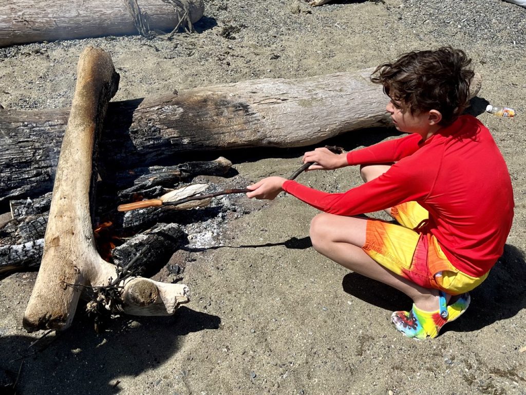
Sandy Beach Picnic Area was a great place to relax and play on a sunny day. It was even warm enough that Tween Kid and I went swimming (the water was still too cold for Ma). The great weather brought out local families, so Tween Kid got to splash around and ride floating logs with the other kids. The kids also built driftwood forts and clambered around on the rocks. Sandy Beach was where we first observed that most Alaskan’s seem to reflexively build a fire whenever they spend some time outdoors. When families arrived the kids would dash in the water and parents would build a driftwood fire and bring out the hotdogs. We quickly adopted this local custom and built a number of fires the rest of our stay.
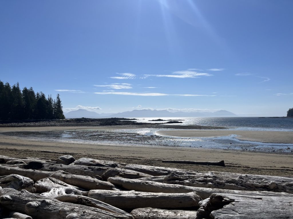
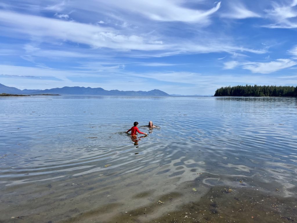
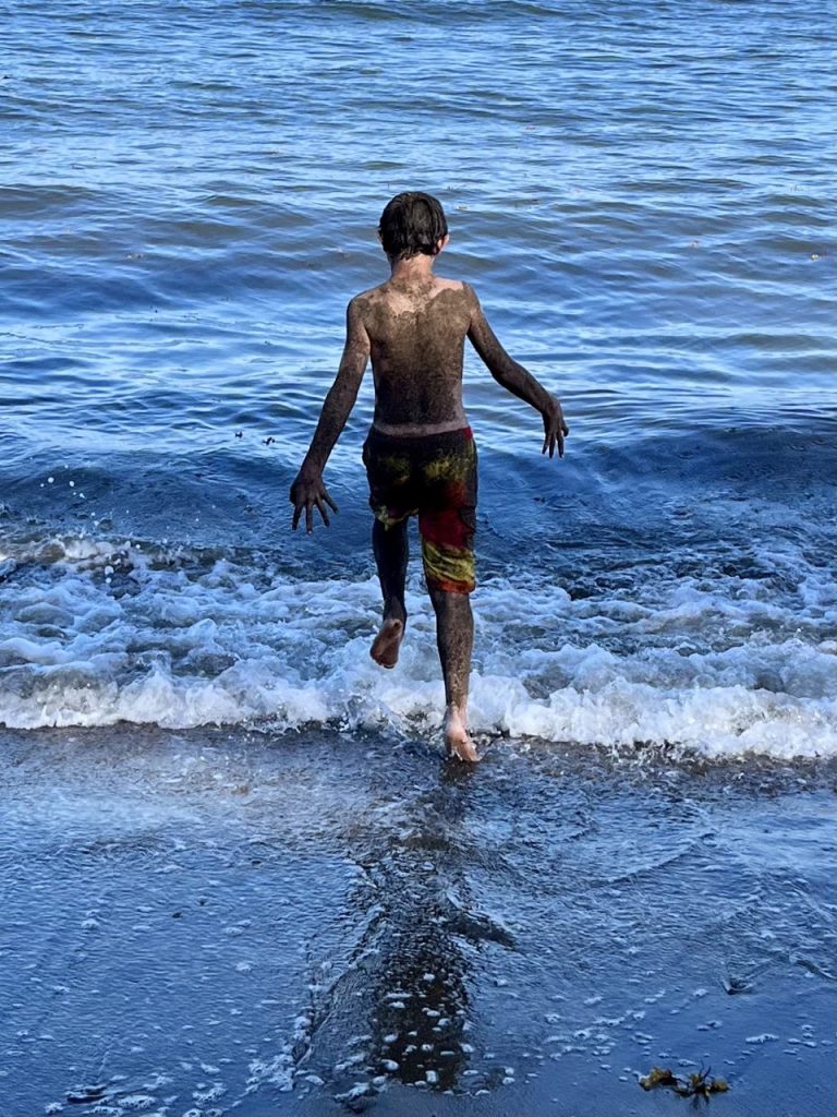
The road from Thorne Bay to Sandy Beach was gravel, and it was all narrow gravel roads for the next few days touring the lightly populated northern parts of Prince of Wales Island.
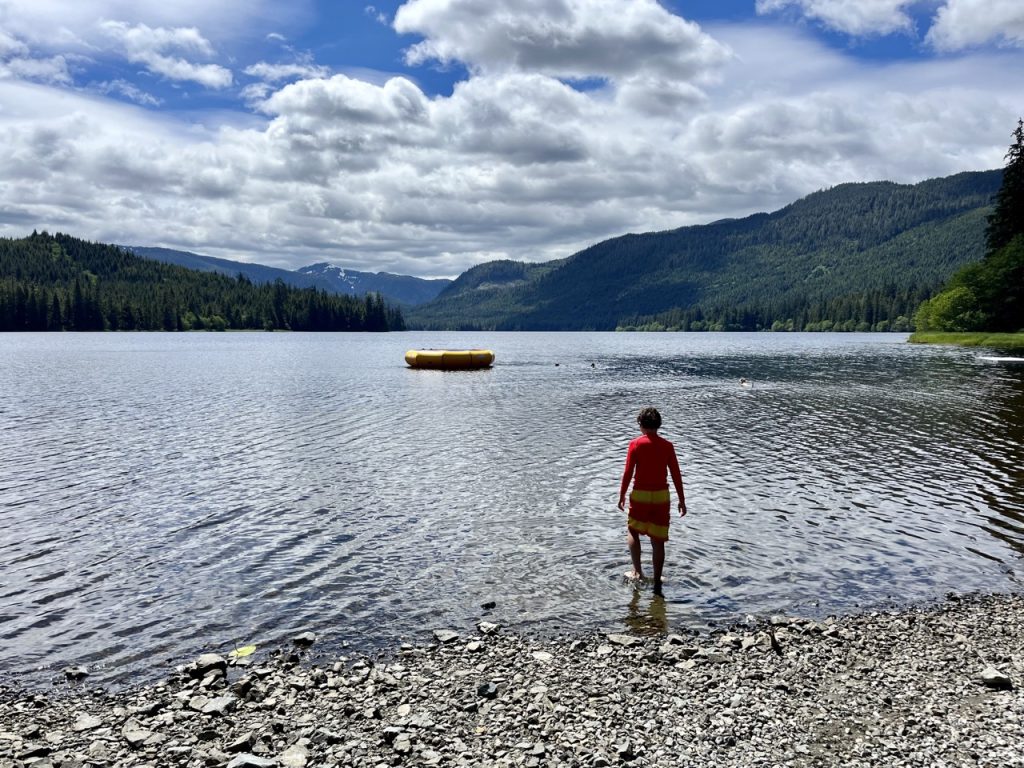
At Luck Lake Picnic Area the Forest Service installed a big trampoline style swimming platform in the lake, so of course Tween Kid and I braved frigid water once again.
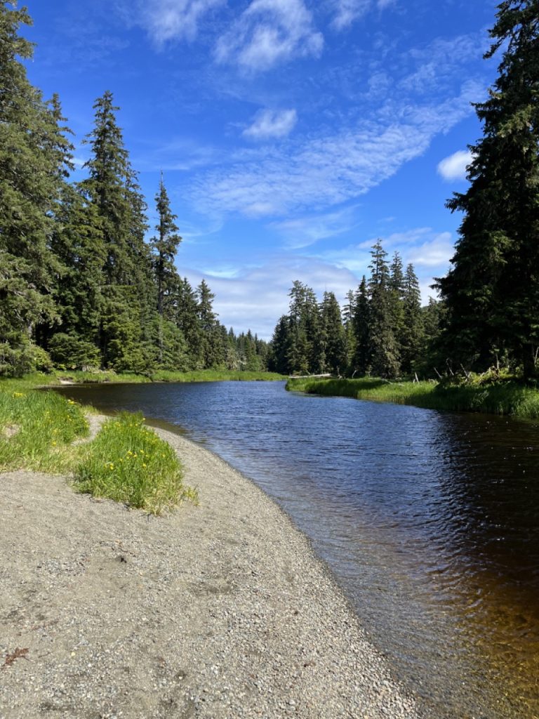
After Luck Lake we passed through the small community of Whale Pass, accessible only by long drives on gravel roads or boat. We ended up meeting the mayor of Whale Pass while waiting in line for the ferry to leave Ketchikan.
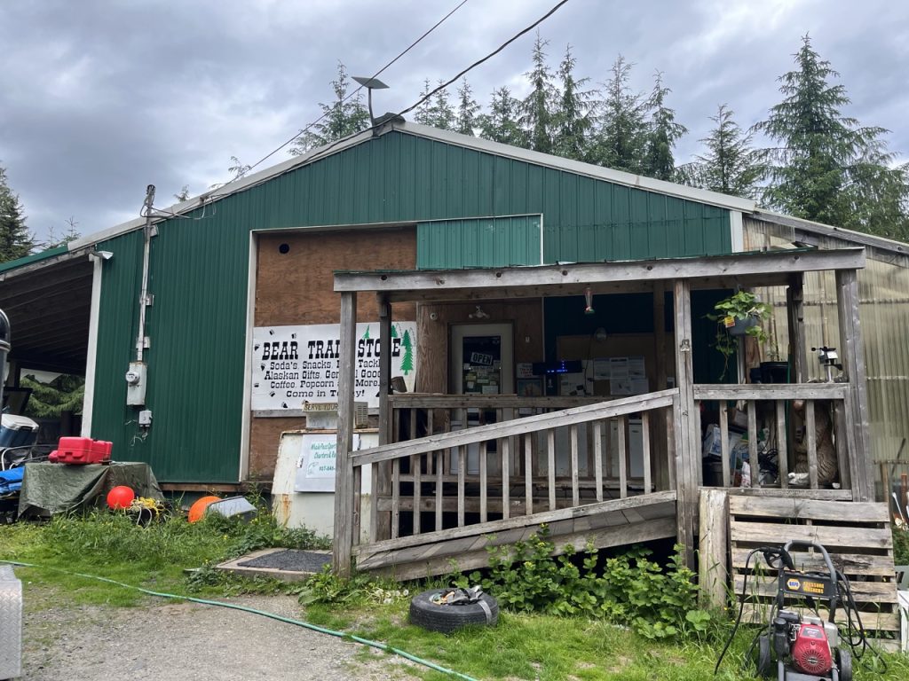
We drove north from Whale Pass on an extremely narrow and rough gravel road to the remote Exchange Cove, where we spent the night at the end of a side road.
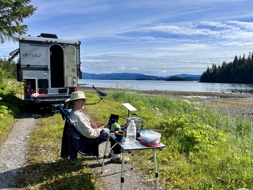
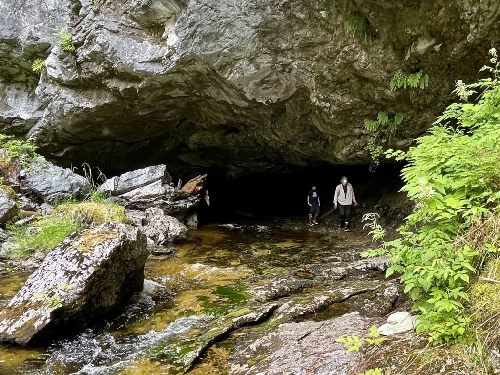
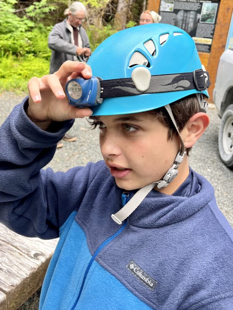
Tween Kid and I took a tour of El Capitan Cave, the longest cave in Alaska. Our guides were two young Forest Service summer employees who live in a nearby cabin with no electricity or running water.
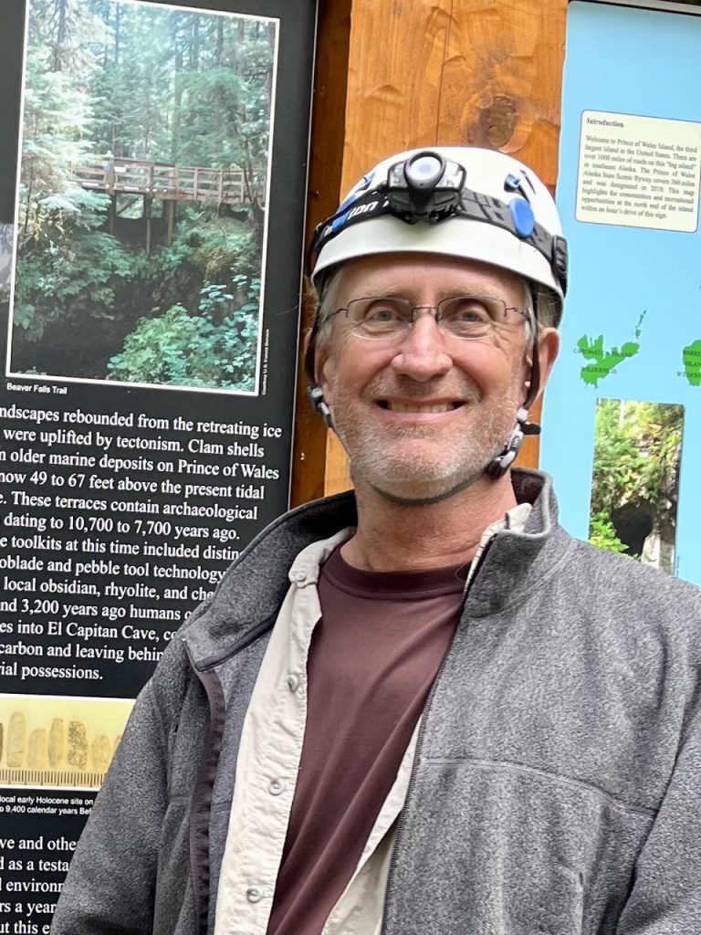
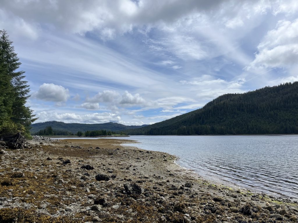
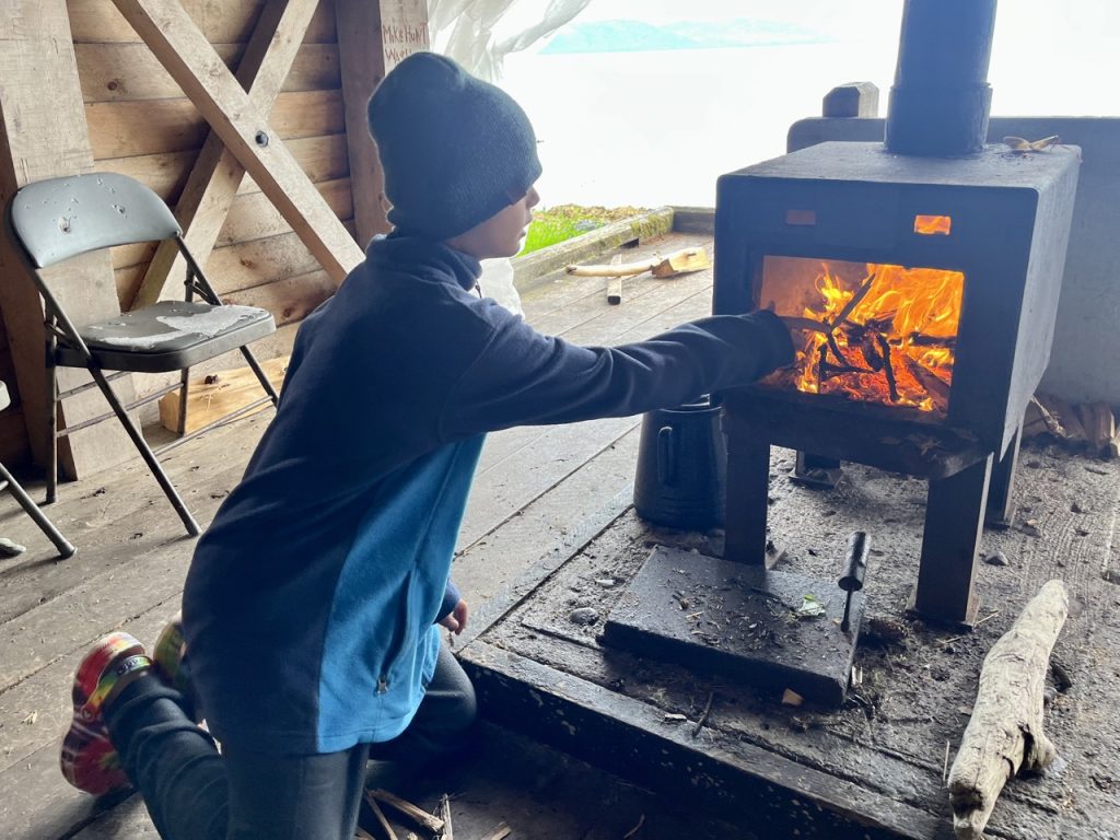
Tween Kid loved using the wood stove in the Forest Service shelter at Memorial Beach Picnic Area. The site is dedicated to the 12 people who lost their lives when a pilot flew into the ocean nearby on a foggy day in the 1980s.
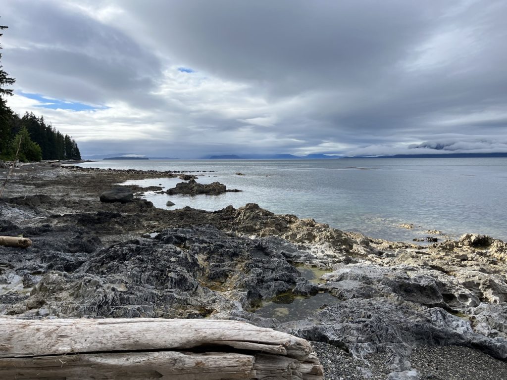
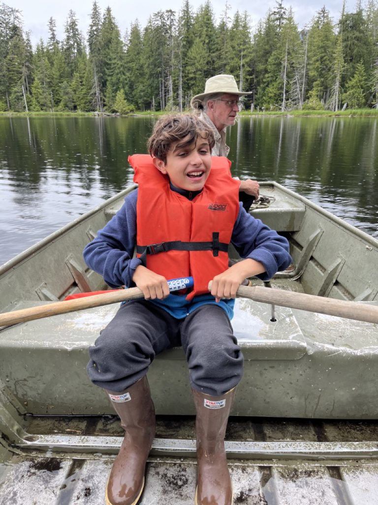
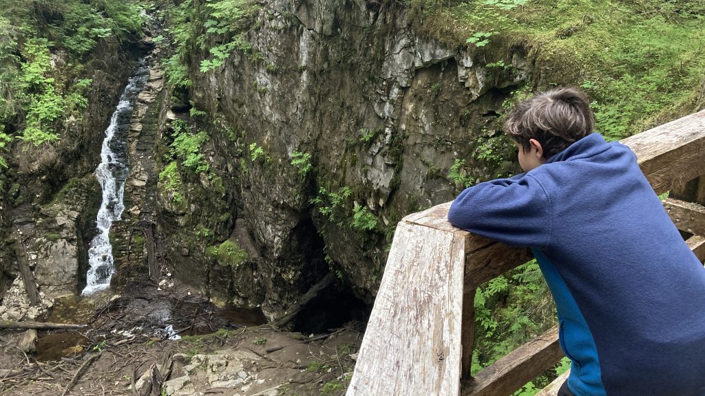
At the Beaver Falls Karst Interpretive Trail the boardwalks circled around a few really impressive sinkholes. It was a little scary to see that one section of boardwalk was missing because the ground it was on had fallen into the sinkhole.
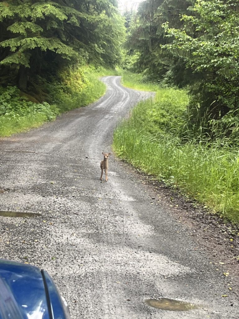
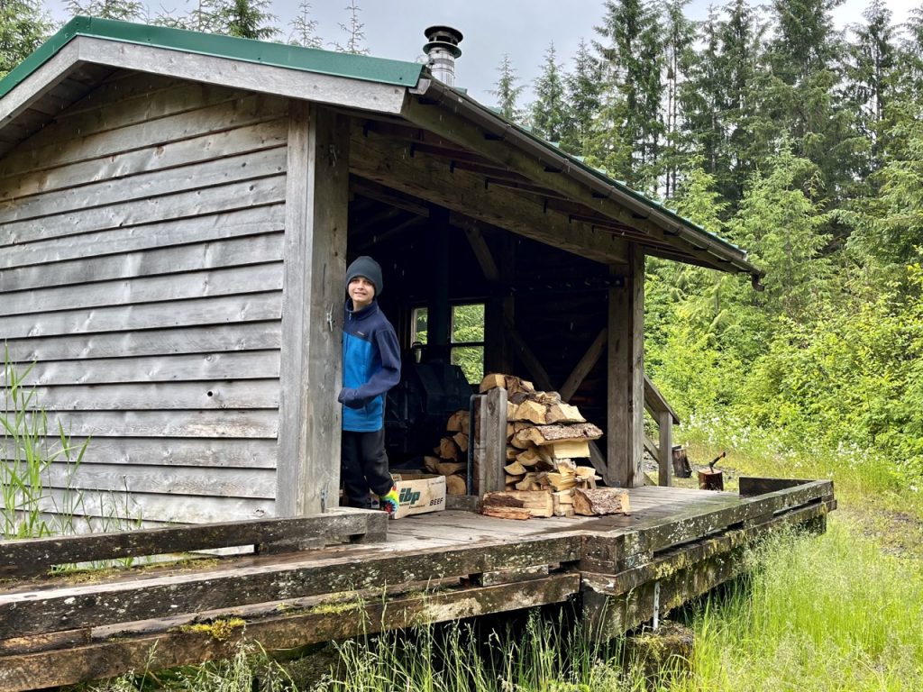
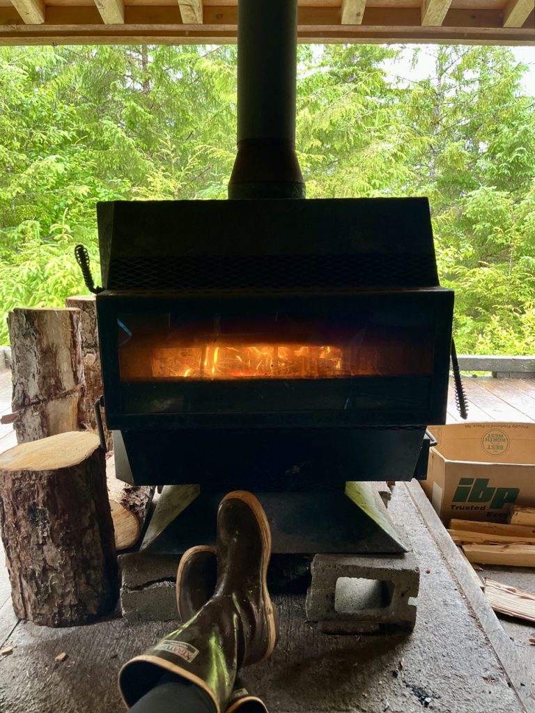
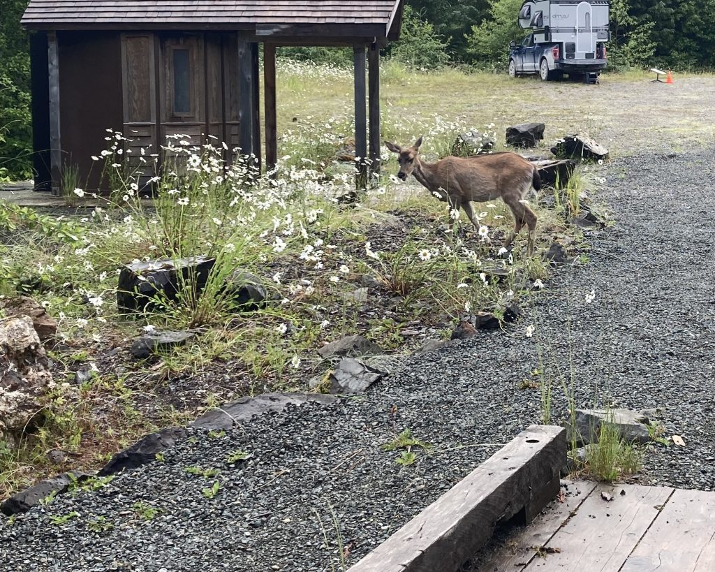
At Winter Harbor we were delighted to discover another Forest Service shelter with a wood stove. It was a great place to spend a rainy day and a night. A deer was comfortable hanging out with us.
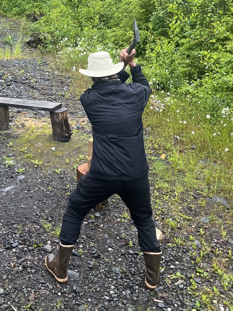
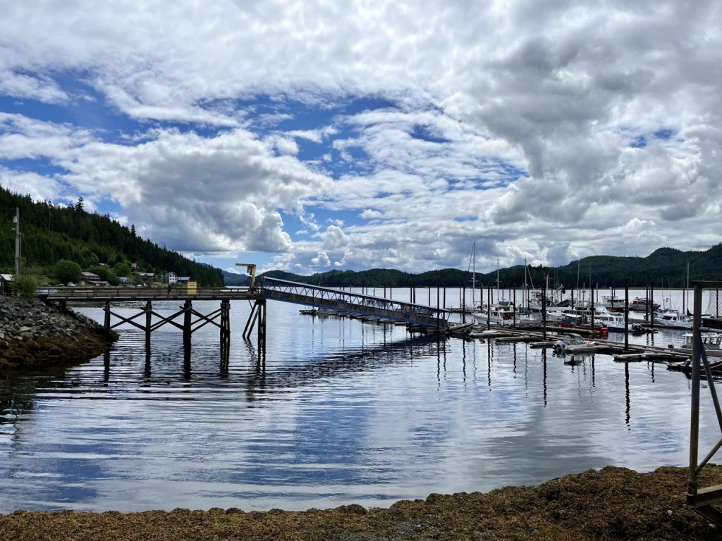
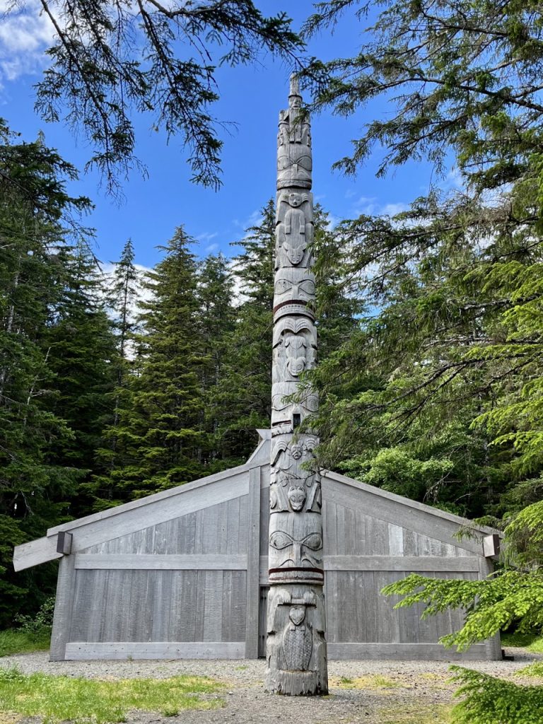
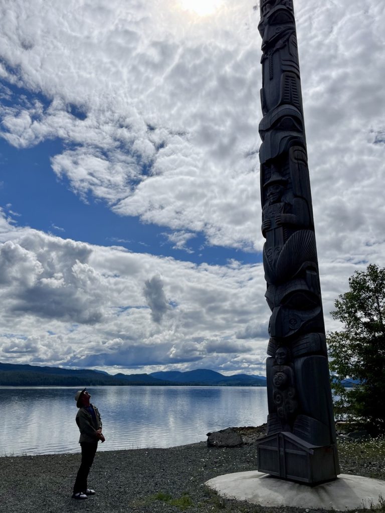
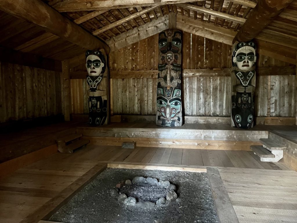
Our favorite stop that wasn’t a Forest Service site was the village of Kasaan, which had a traditional Haida whale house.
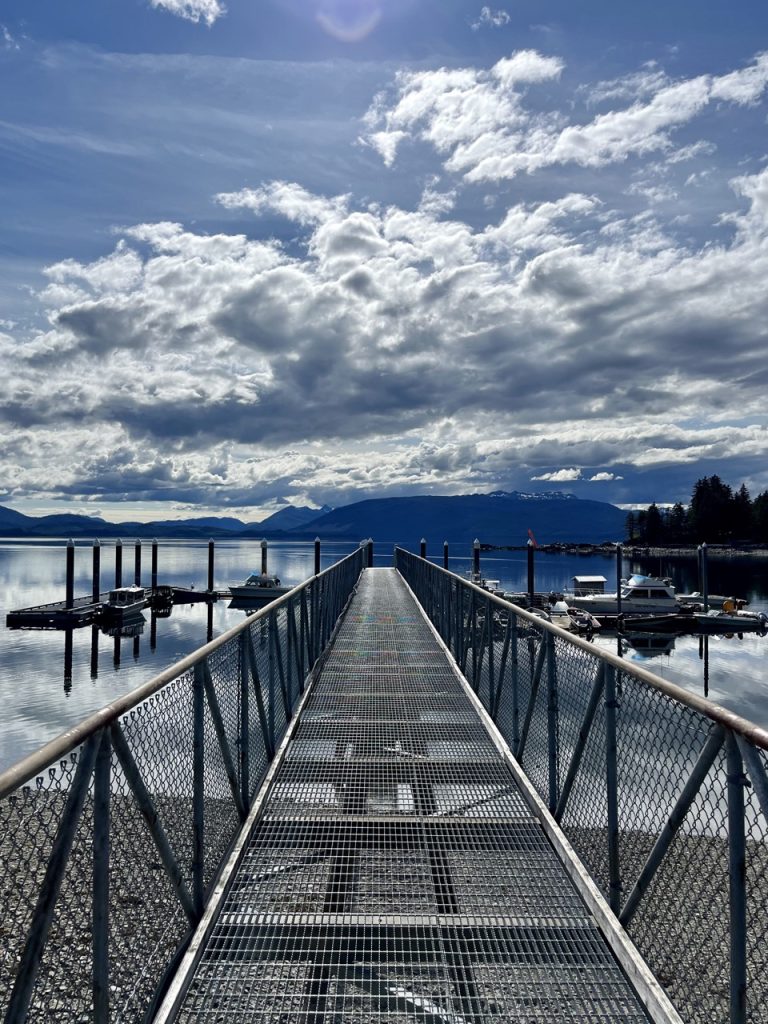
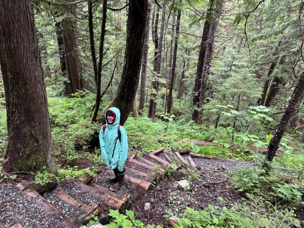
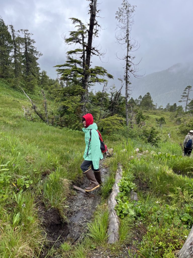
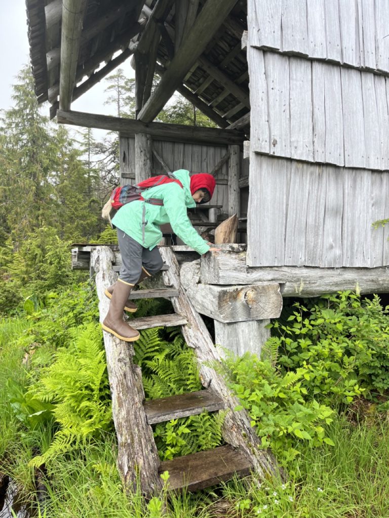
On our last full day on P.O.W. we hiked the One Duck Trail. It was only a mile and a half long, but the 1,400 feet of elevation gain made it a challenging hike. It was cold, grey and damp at the top, but fortunately there was yet another shelter.
We appreciated our extra time on Prince of Wales Island. We truly were marooned in paradise.
