Celebrations and Evacuations

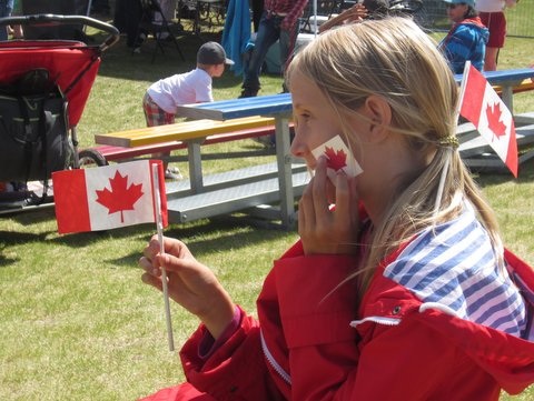
With the last day of our fun and relaxing week in Whitehorse, Yukon being Canada Day (July 1), we decided to head to Alaska so that we could then celebrate July 4 in the USA. One week … two parades, two celebrations.

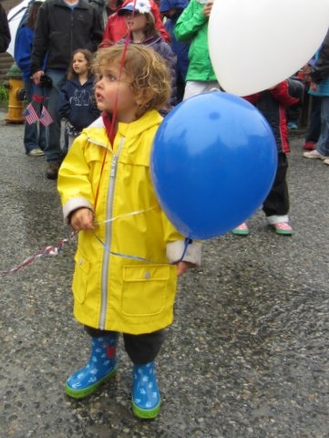
We chose Skagway, Alaska for our Independence Day celebration as it was only a two hour drive from Whitehorse, they were known for their “family fun” festivities, and as the driest place in Southeast Alaska we thought we could enjoy some nice weather.

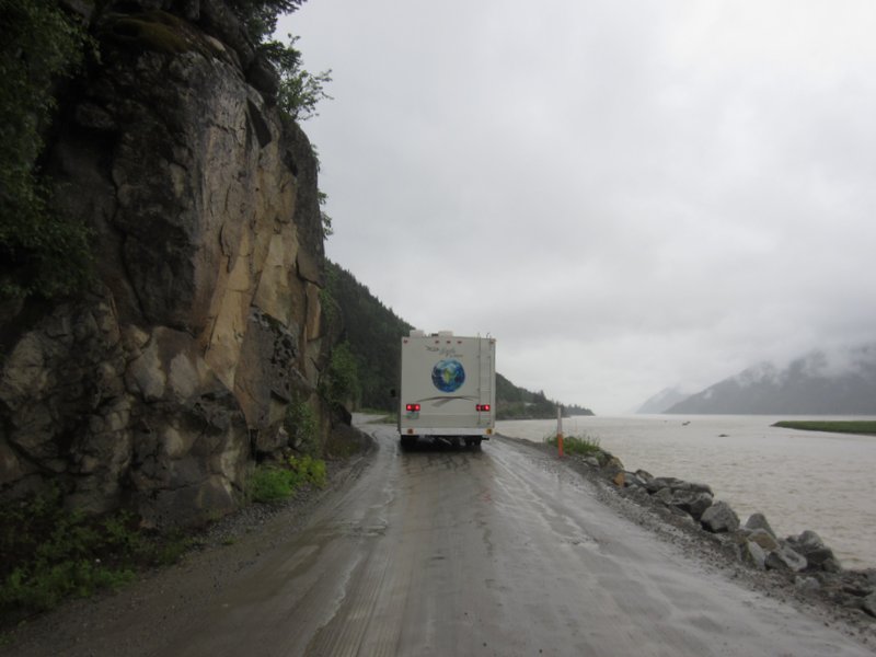
Well …. it seems their annual rainfall of 26 inches all occurred during our visit. With nonstop rains since our arrival, there was some vague talk of possible flooding of our beautiful campground located along a scenic river, five miles outside of town (away from the 5000+ cruise ship passengers that arrive daily). Today, after a fun parade and some other patriotic activities, we learned that the river had reached flood levels and that the campground will flood this evening and campers are encouraged to evacuate.

It was suggested that we move the RV to the local ball field, where other people were camping. When we arrived at the ball fields, there were several police cars there, evacuating all campers, as it too was a possible flood area.

We are currently parked in a beautiful field, along with the other refugees, near the train tracks. From our window, we get to see steam locomotives chug on by …..

The good news is that we plan to leave tomorrow via ferry, rather than the road, as there was a landslide along the one and only road into Skagway and it is now closed. The ferry will take us and the RV to Haines, Alaska, where we will spend a few (hopefully dry) days ….

Canada Day
Canada Day
Independence Day
Independence Day
IMG_0894
Evacuation Day


Whitehorse

We ended up spending a full week in Whitehorse, Yukon, because it was so darn pleasant.  Whitehorse is a neat little city with lots to see and do, and, thank goodness, not many mosquitoes. After a week of campgrounds with mosquitoes that made you want to cry, it was so nice to be able to hang out outside without being eaten alive. Also, the weather was a lot warmer and drier than we had seen for weeks. Not to mention, by staying a full week we could attend the Canada Day celebrations on July 1, and then bop down to Skagway AK for the Fourth of July; two national holidays in one week!

Whitehorse, the capital of the Yukon, has a population around 25,000 and is home to about 70% of Yukon’s total population.  It is an oasis of middle class suburban living in the middle of a vast wilderness. There’s a Starbucks, bookstore, sushi restaurants, used bookstore, big box grocery store, yoga classes in the park, paved jogging path along the river, big modern library, and playgrounds with shiny new equipment. Meanwhile, it is mostly empty wilderness for hundreds of mile around in every direction. A bald eagle swooped over me on a short hike from our campsite, and we have seen beavers in the Yukon River in town.


Cassiar Highway and the Yukon

It took us three driving days, and two layover days, to drive the 449 mile Cassiar Highway. The Cassiar ends at a junction with the Alaska Highway, just after crossing the border between British Columbia and the Yukon Territory. We are now camped in a Yukon Government campground a few kilometers outside of Whitehorse, the capital of the Yukon and the first city (pop 24,000) we have been in since Prince George BC.

The Cassiar Highway is very scenic and remote. The scenery is endless snow capped mountains interspersed with lakes and rivers. There are maybe six gas stations (with two 1970s vintage pumps each) and only one small town (Stewart/Hyder, pop 800), and that town isn’t even on the highway, it’s a 45 minute drive down a side road.  The “highway” is paved, but there are no shoulders or passing lanes, and the last portion doesn’t have a centerline, probably because that would highlight the fact that the roadway is really only 1.75 lanes wide.

Despite the primitive roadway, driving the Cassiar was pretty relaxing since we seldom saw other cars. Poking along at around 45 mph we would often go an hour or more before someone showed up in our rear view mirror, and it was frequently half an hour between oncoming vehicles.

Less relaxing was the price of gas along the Cassiar. Gas is more expensive in all of Canada; the lowest price we have paid was CAD 1.30 per liter at the Prince George Costco, which works out to around USD 4.50/gallon. The first gas station we checked on the Cassiar was CAD 1.59/liter, so we passed it by figuring the next station couldn’t be higher. Wrong. We ended up paying CAD 1.65/liter, or around USD 5.75/gal! In an RV that gets 8 MPG. Better to no think about it too much.

Fortunately, the Cassiar has three lovely BC provincial parks. We spent two nights at the beautiful Metziadan Lake Provincial Park, and then two nights at the equally stunning Boya Lake Provincial Park. Like Tyhee Lake, both campgrounds had well spaced and level campsites and friendly staff, and Boya Lake even had a playground for the kids.

 When we hit the Alaska Highway after entering the Yukon it was like returning to civilization. The Alaska Highway has shoulders and a centerline, and the gas stations are only 45 minutes apart instead of hours apart. However for every open business on the Alcan there are 2-3 closed ones, and most of the open ones were for sale.

We are now spending a few days in Whitehorse, the capital of the Yukon. More about Whitehorse later.


Bears!!!!!!!!

Today we were driving and saw a bear. We stopped and were watching it when we realized that there were two cubs in the tree! The cubs were so cute. One was light brown with a tan snout, and the other was black with a brown snout. The cubs were climbing very high. Later  we saw another bear with two cubs! Both were black with brown snouts. It was cool!

image

image