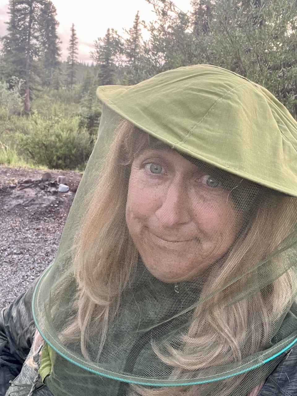
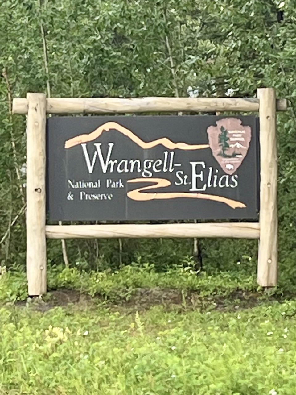
After our long drive from Dawson City we camped at Kendesnii Campground on the Nabesna Road in Wrangell-St. Elias National Park. It was a spectacular setting, but the mosquitos were terrible.
Beautiful …… but buggy!The bugs weren’t too bad if you kept moving on the road
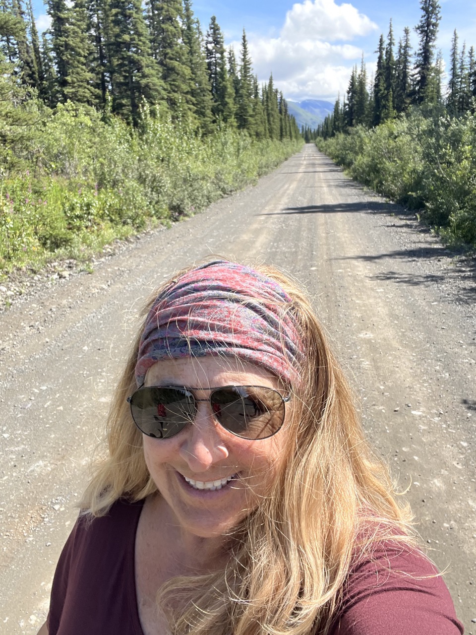
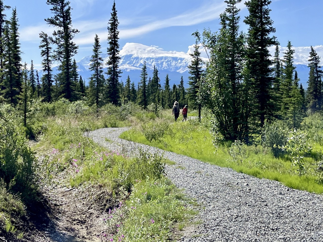
After two nights we decided that we couldn’t stand the bugs anymore, so we packed up and headed out towards Anchorage. On the way out on the Nabesna Road we stopped to hike the Caribou Creek Trail. It was beautiful, but hot and buggy.
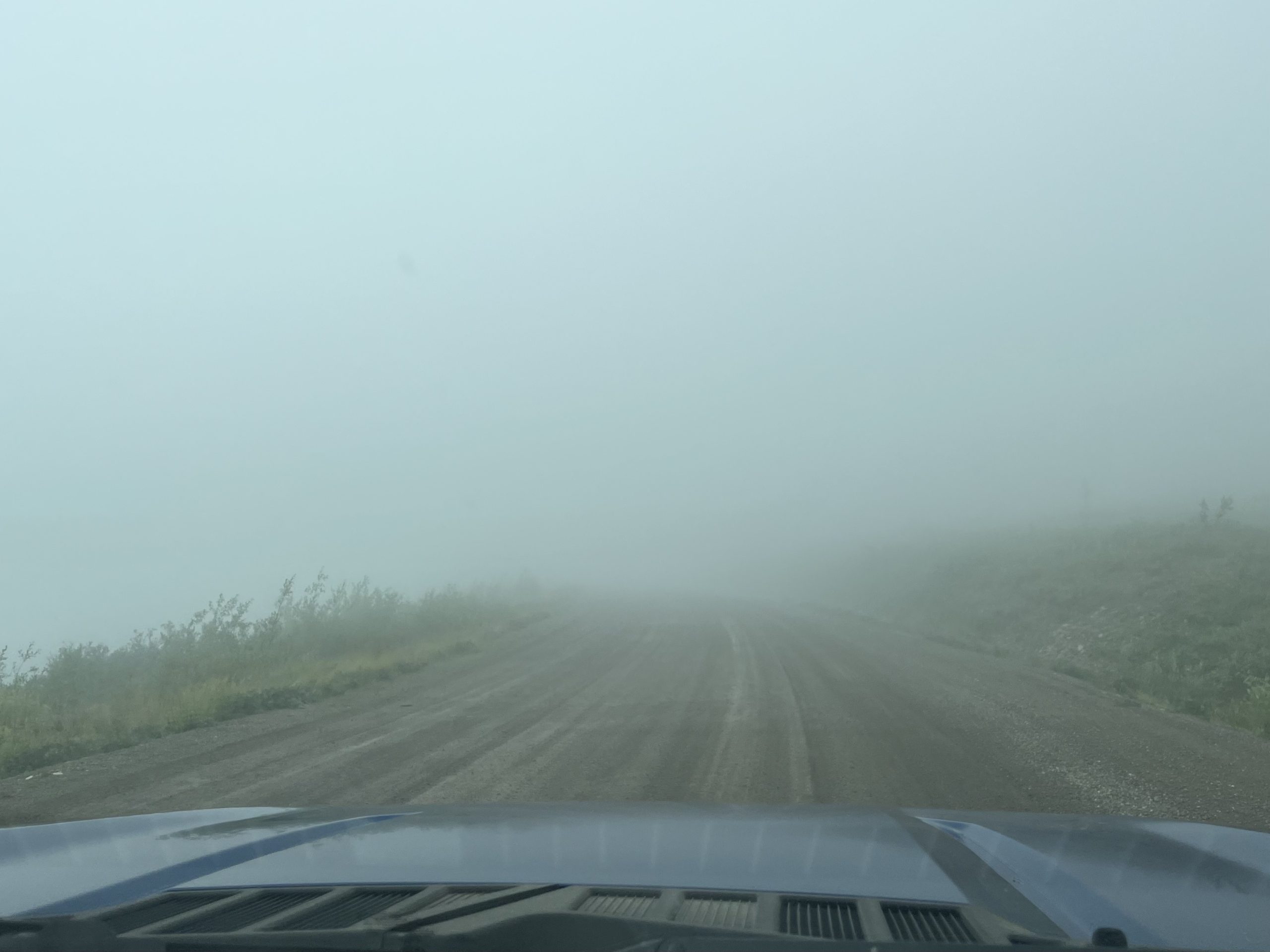
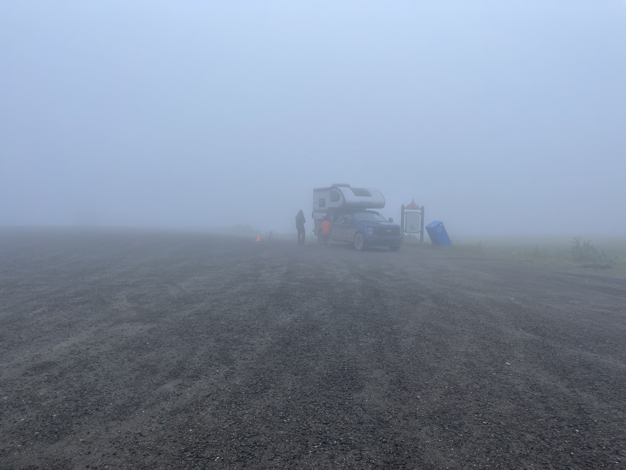
We left Dawson City, Yukon Territory, Canada via the Top of the World Highway. The first few hours of driving were in very dense fog.
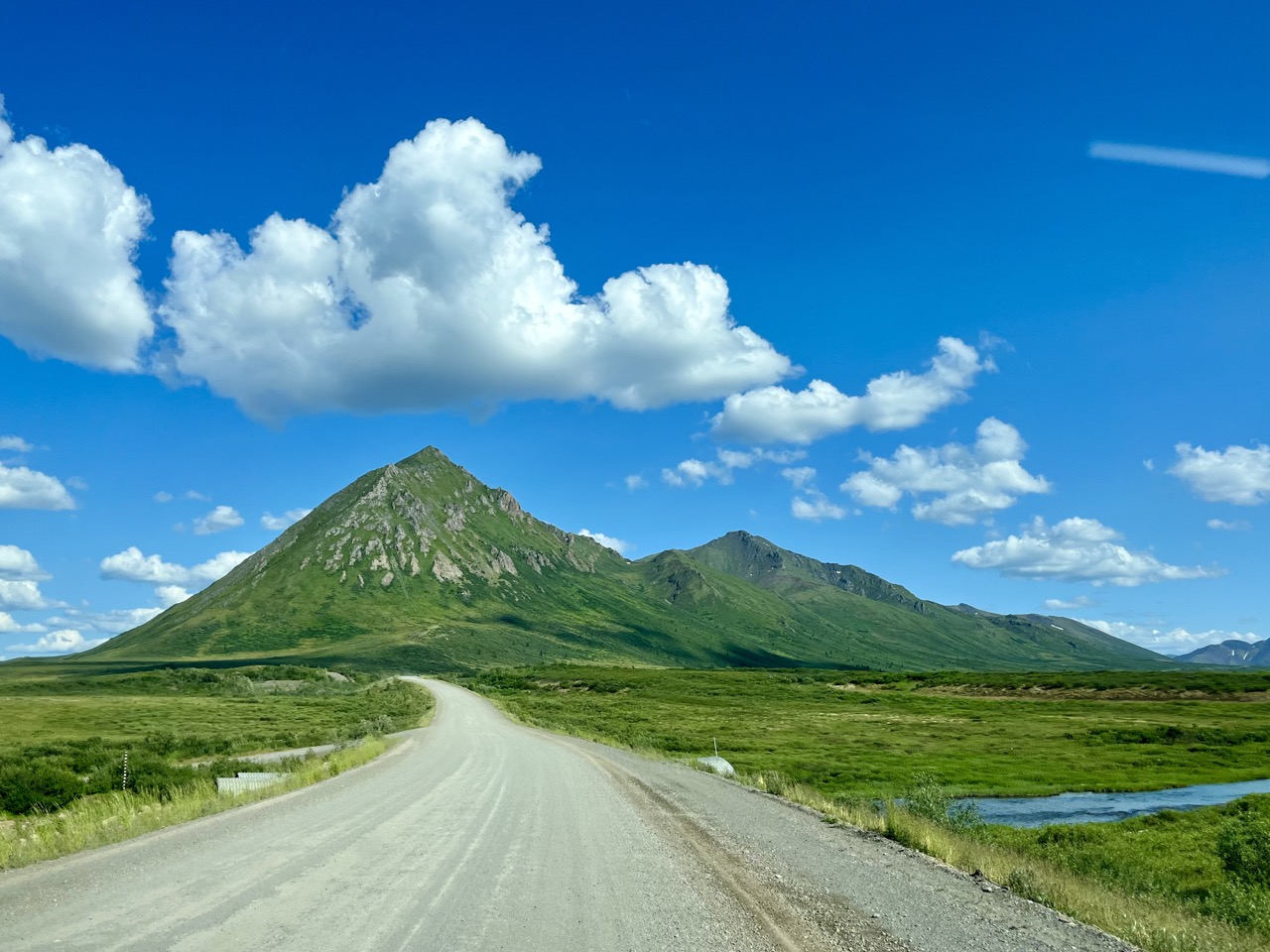
The first portion of the Top of the World Highway has incredible views, which we didn’t get to see
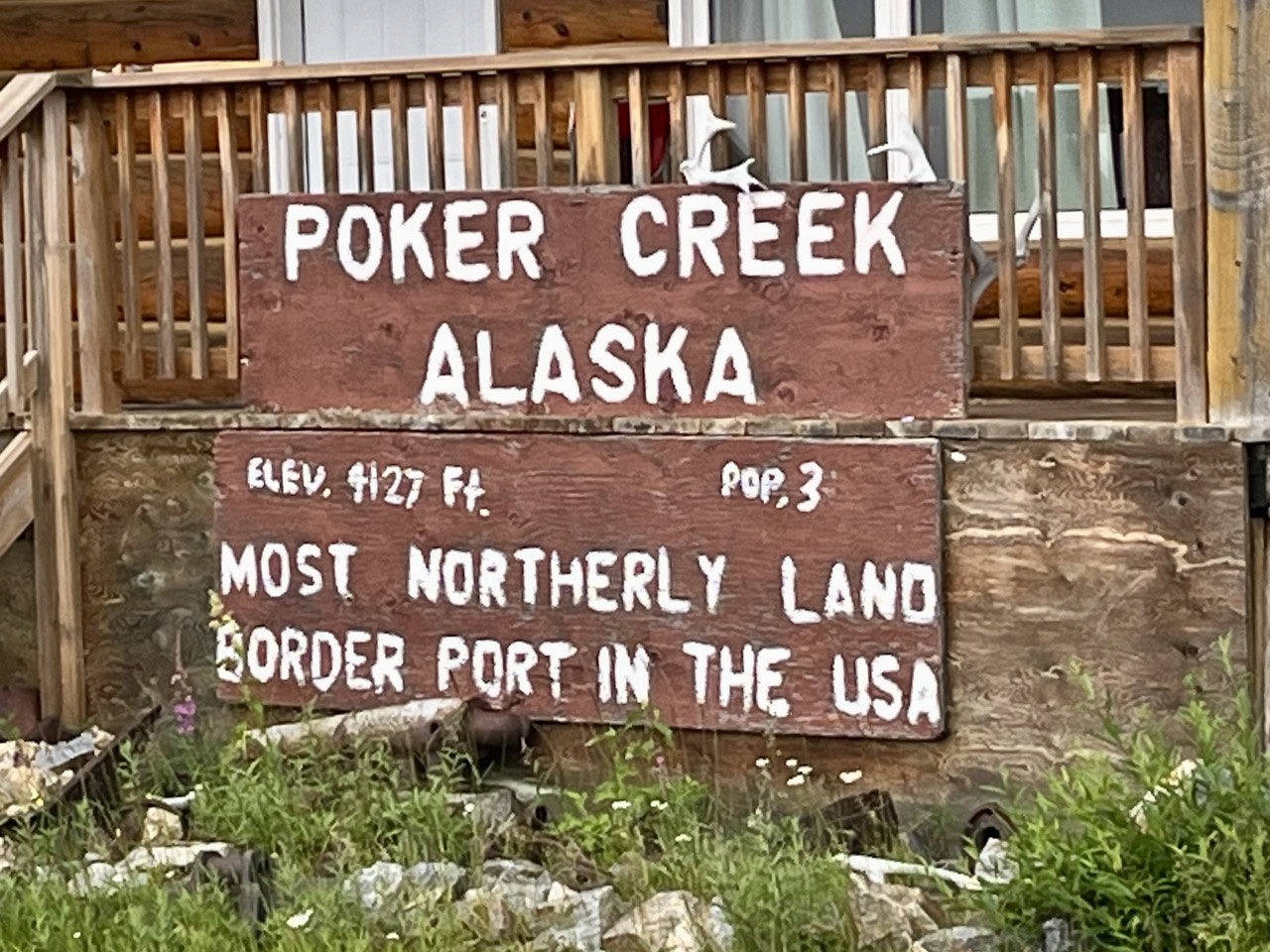
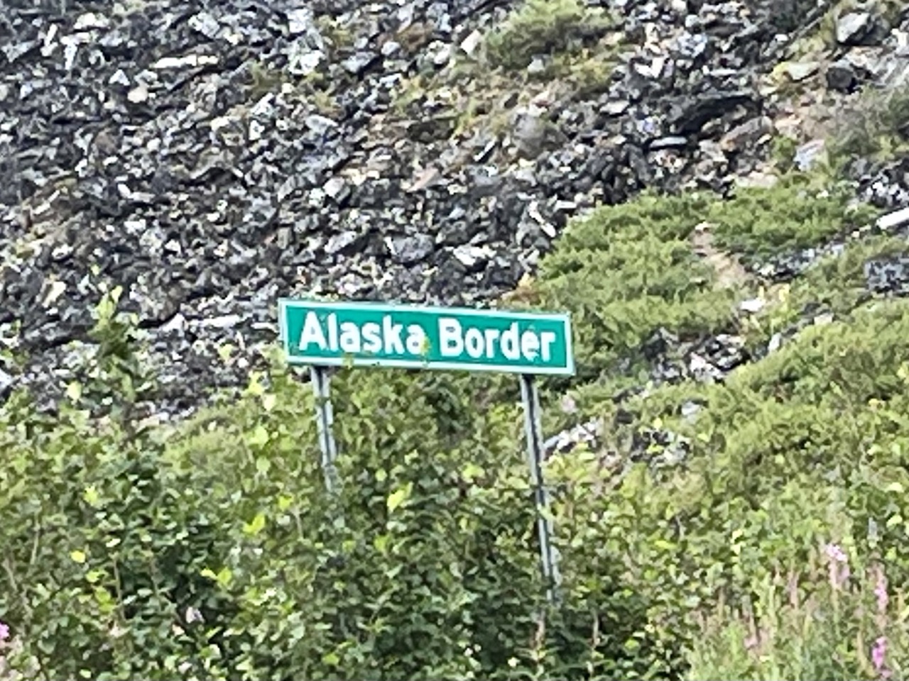
After the fog lifted we crossed back into the U.S.A. at the very remote Poker Creek border station.
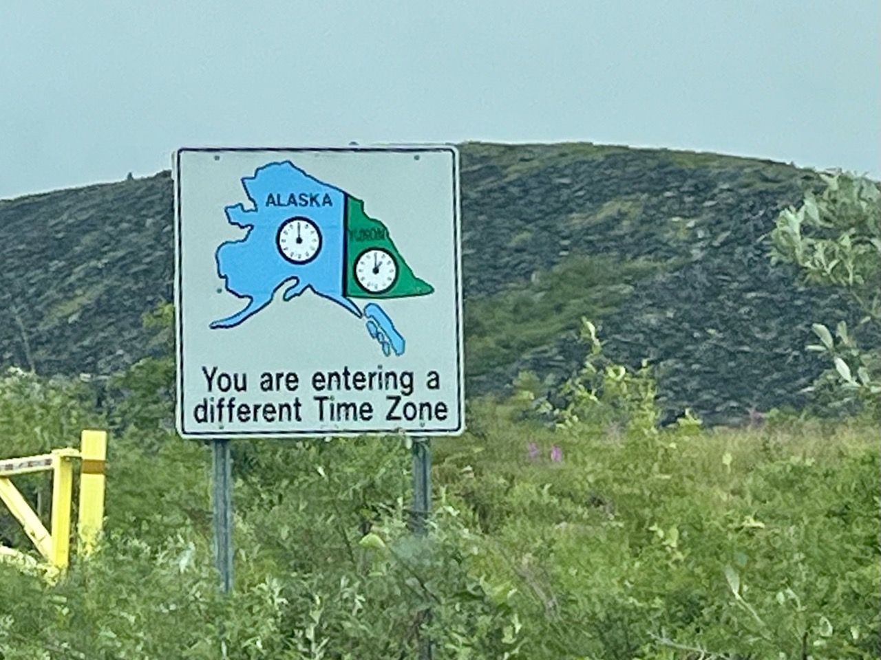
Our fifth time zone change of the trip
We didn’t get a picture of it, but the border station had a signed taped up in the window that said “Yes, we live here” and another that said “Yes, we like it here.”
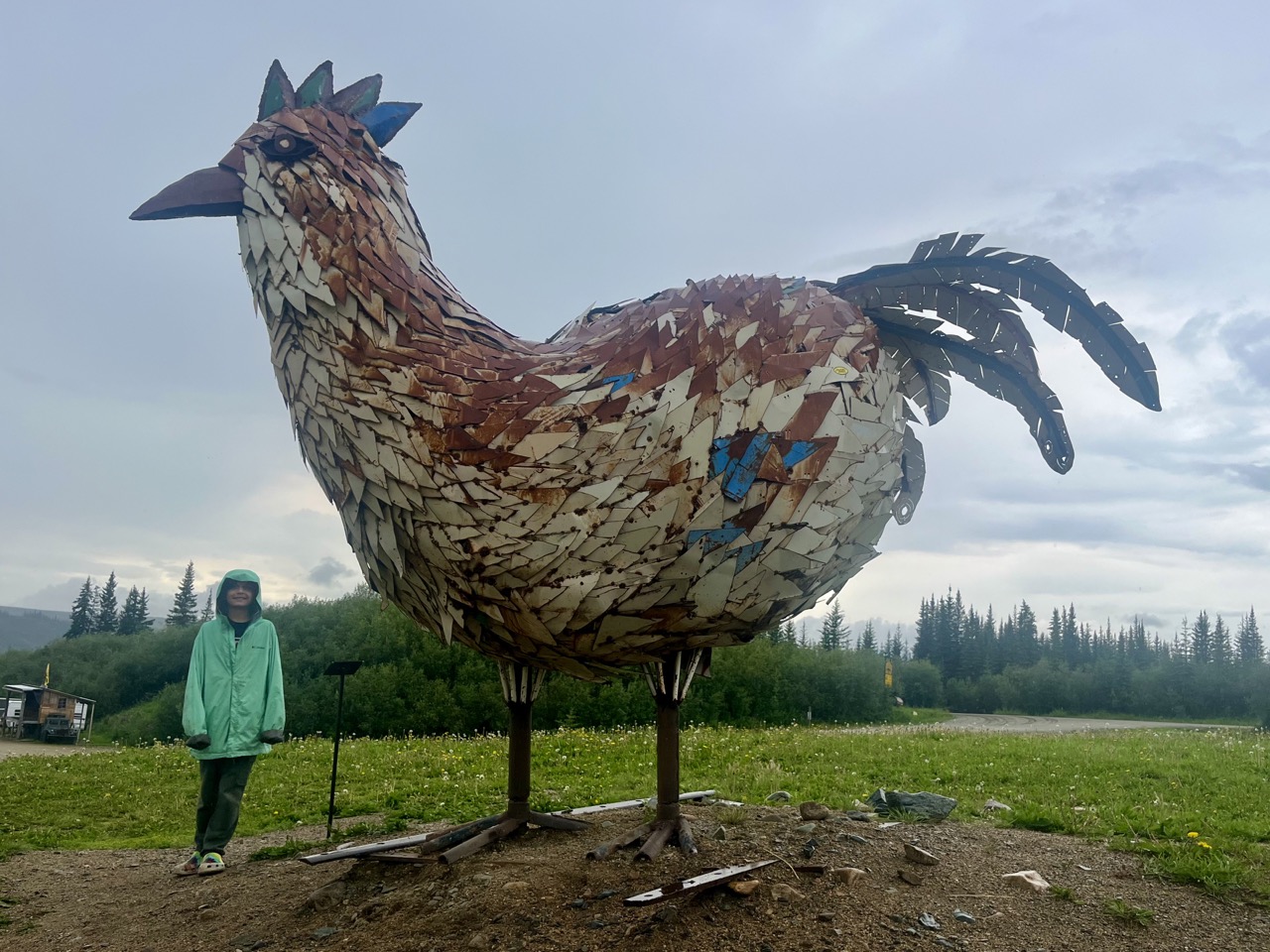
After crossing the border we made a brief stop in the tiny community of Chicken, Alaska.
Gotta have a large chicken sculpture made out of scrap metal in Chicken, Alaska
We stopped for expensive groceries and gas in Tok, Alaska, on the Alaska Highway. Even though it had been a long driving day already, we decided to press on all the way to the Nabesna Road portion of Wrangell – St Elias National Park.
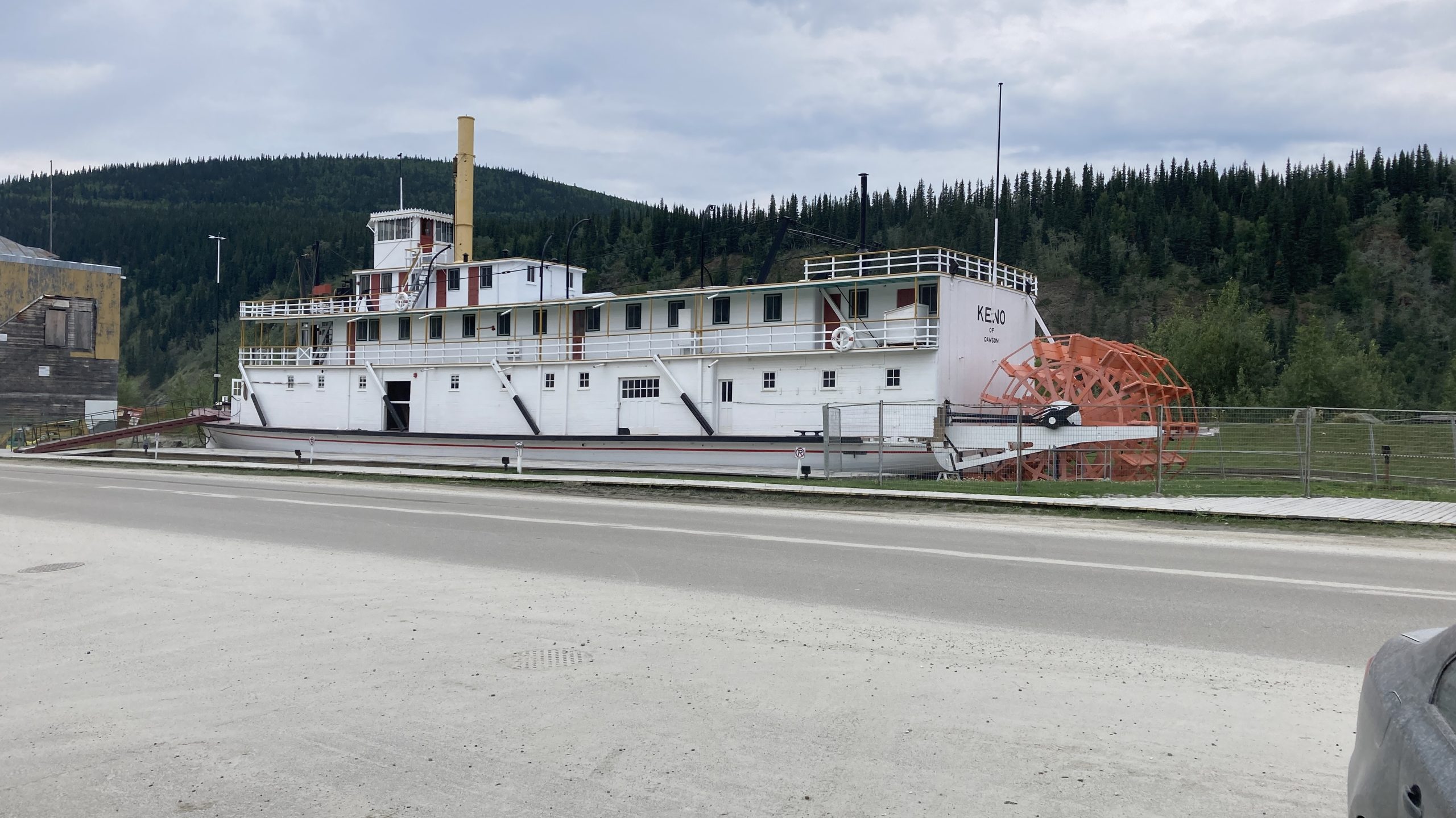
After driving back down the Dempster Highway we spent three nights at the Yukon River Campground across the Yukon River from Dawson City, Yukon Territory.
The restored riverboat S.S. Keno in Dawson City, Yukon
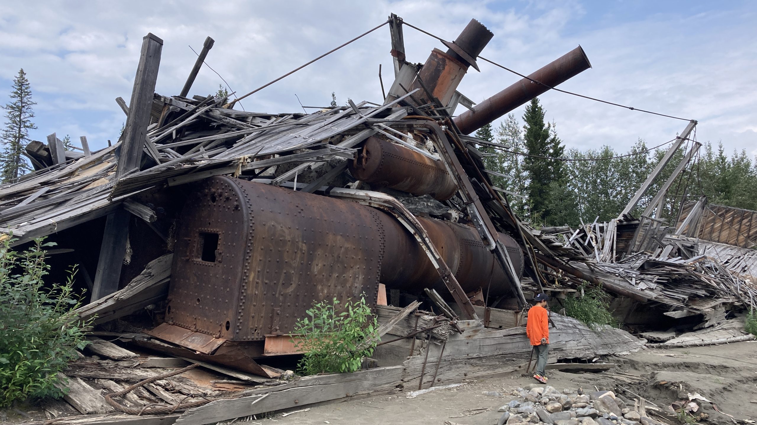
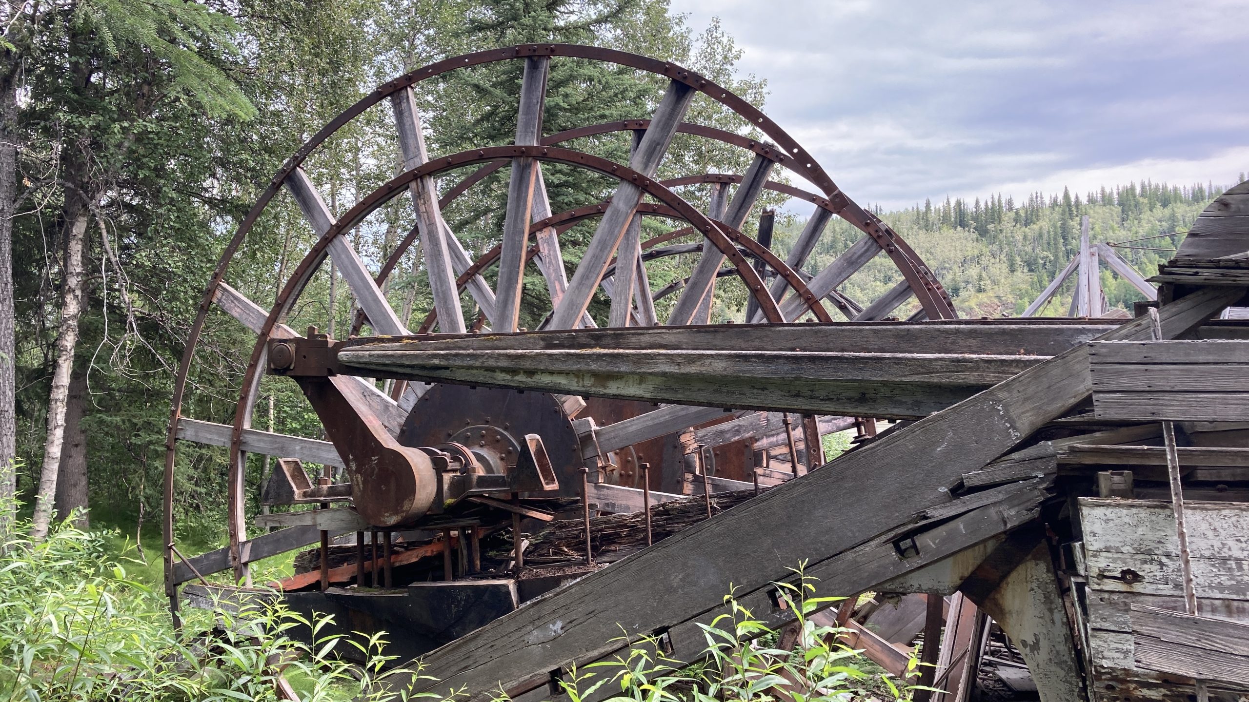
A short walk downstream from the campground is the “Paddlewheel Graveyard.” For decades steam riverboats plied the Yukon River during the summer. Each fall they were hauled out before the river froze and then put back in the next Spring. One year they weren’t put back in and were left to rot.
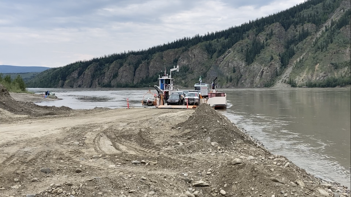
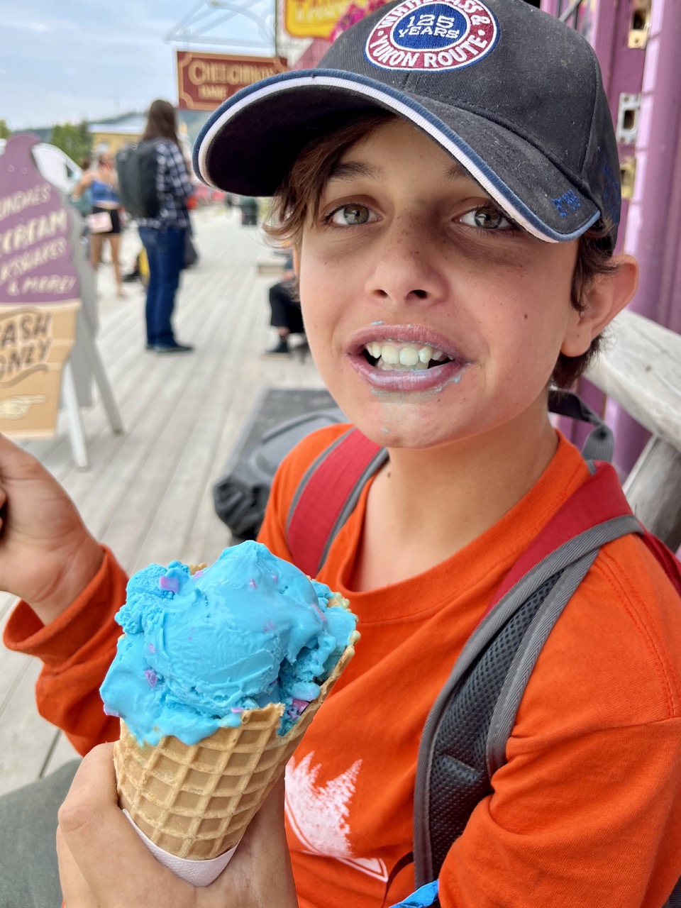
One day we took the ferry across the Yukon River to walk around town and get some ice cream.
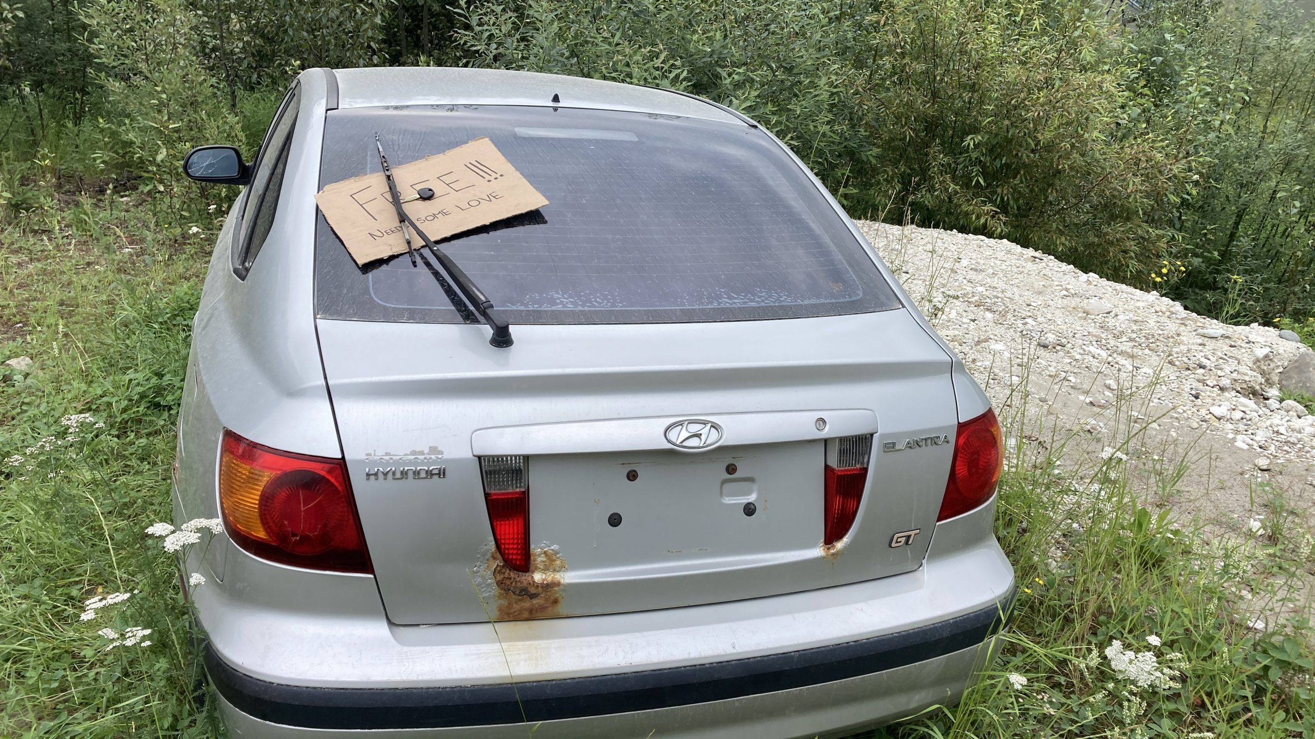
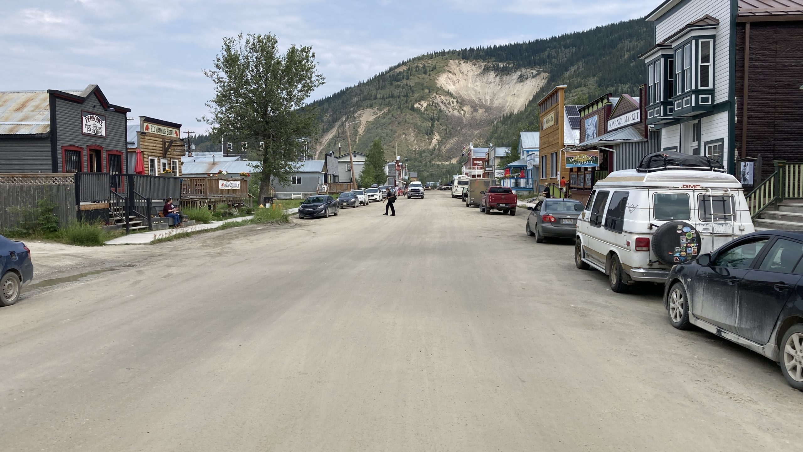
The Yukon River ferry at Dawson CityYou see a lot of abandoned vehicles in the north country, often in people’s yards and sometimes in public parking areas like this one at the ferry landingDawson City has lots of buildings from the Klondike gold rush eraIce cream!
We did the 575 mile drive back down the gravel Dempster Highway from Tuktoyaktuk to Dawson City in two long driving days.
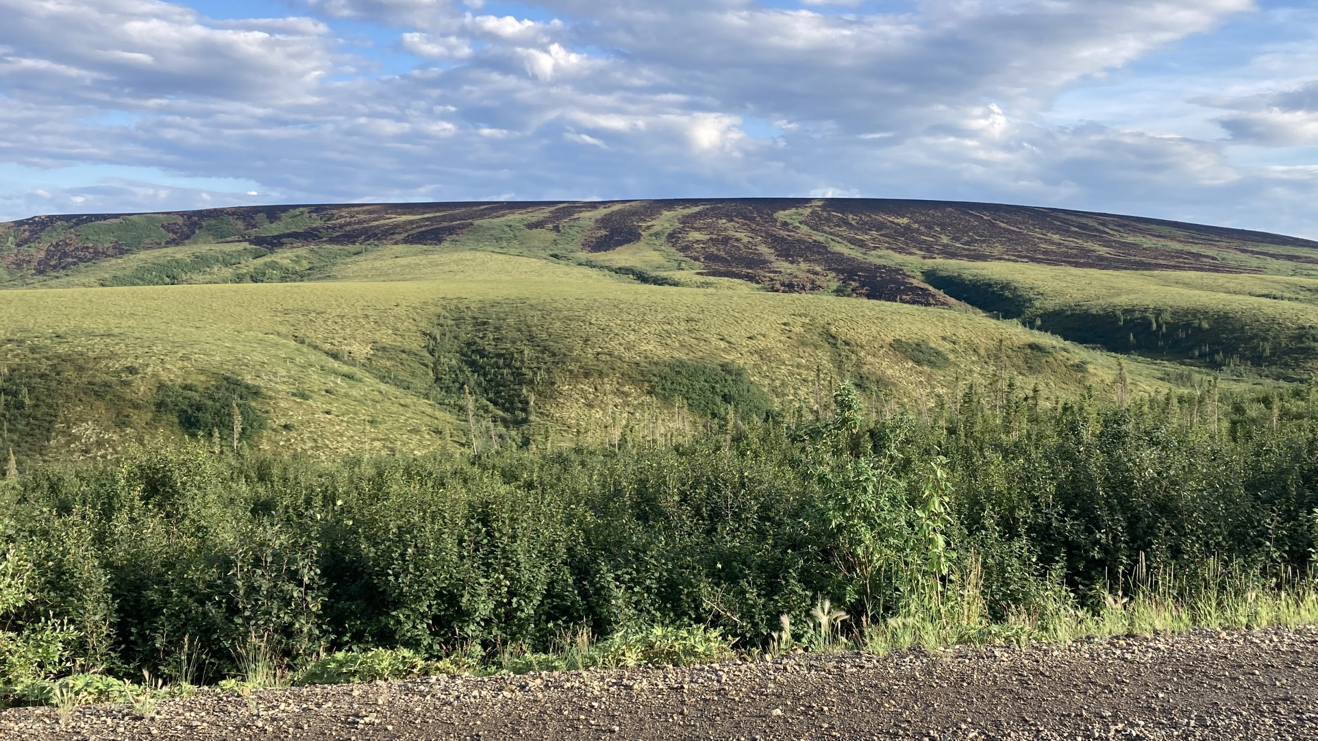
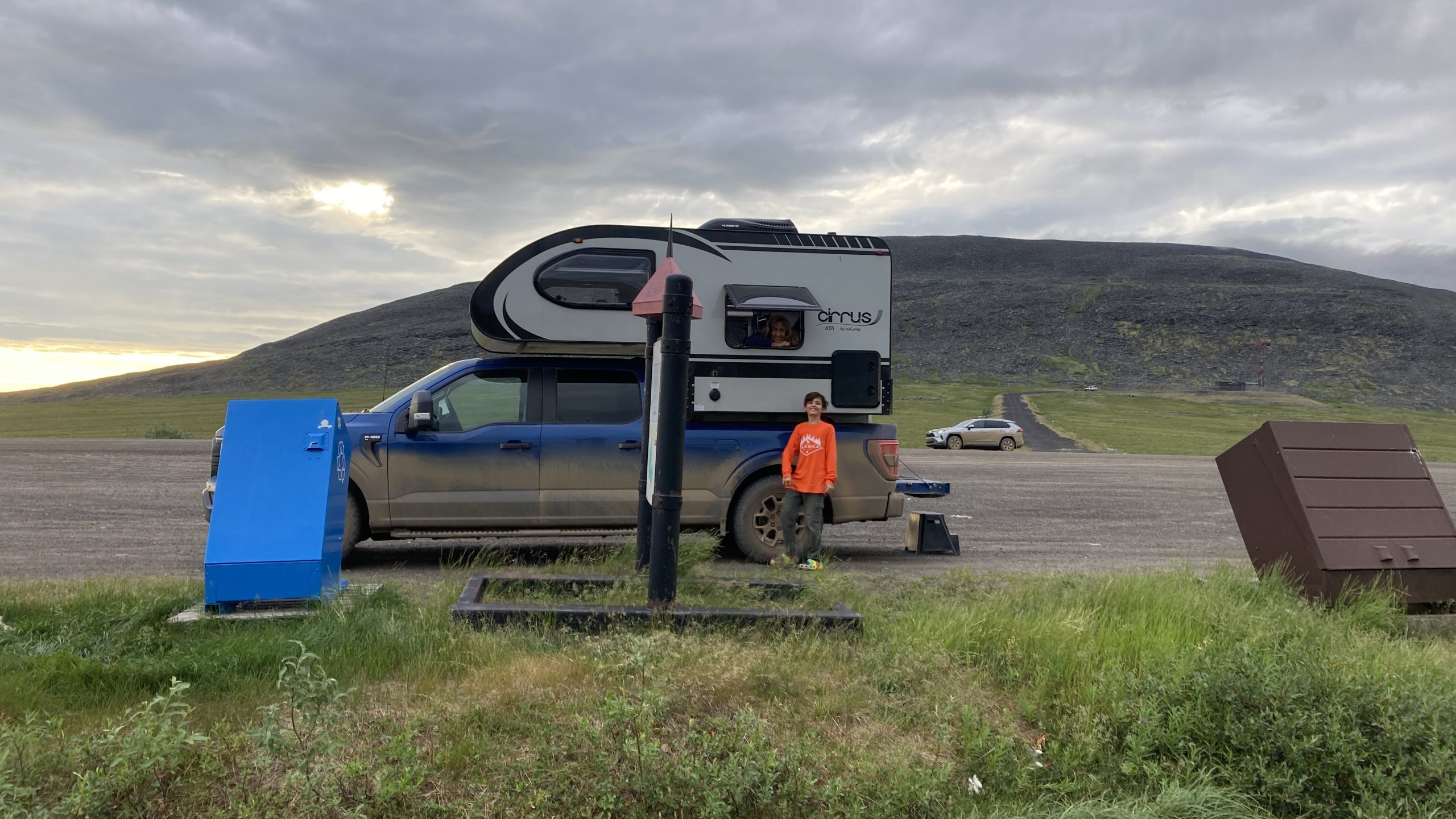
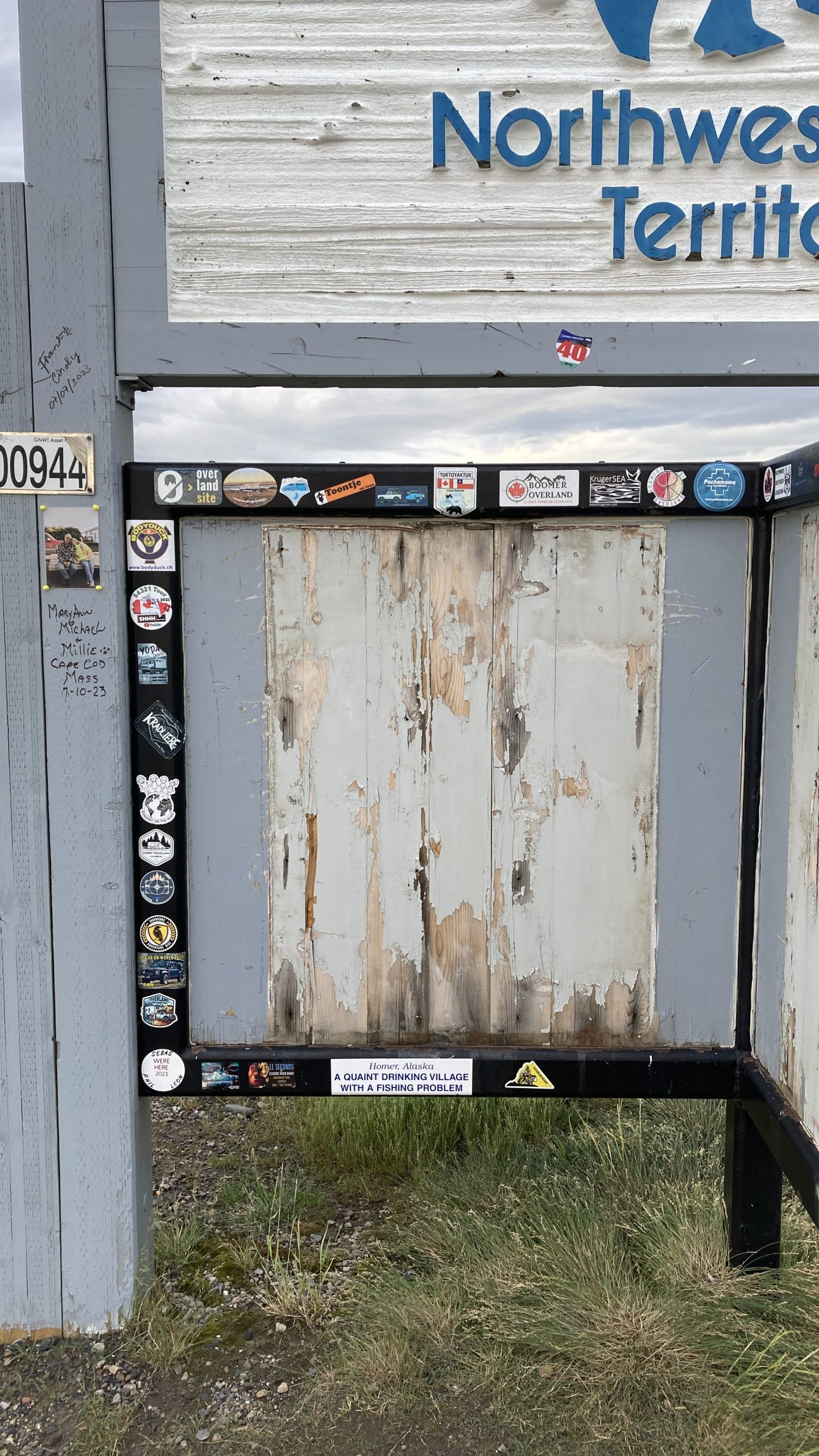
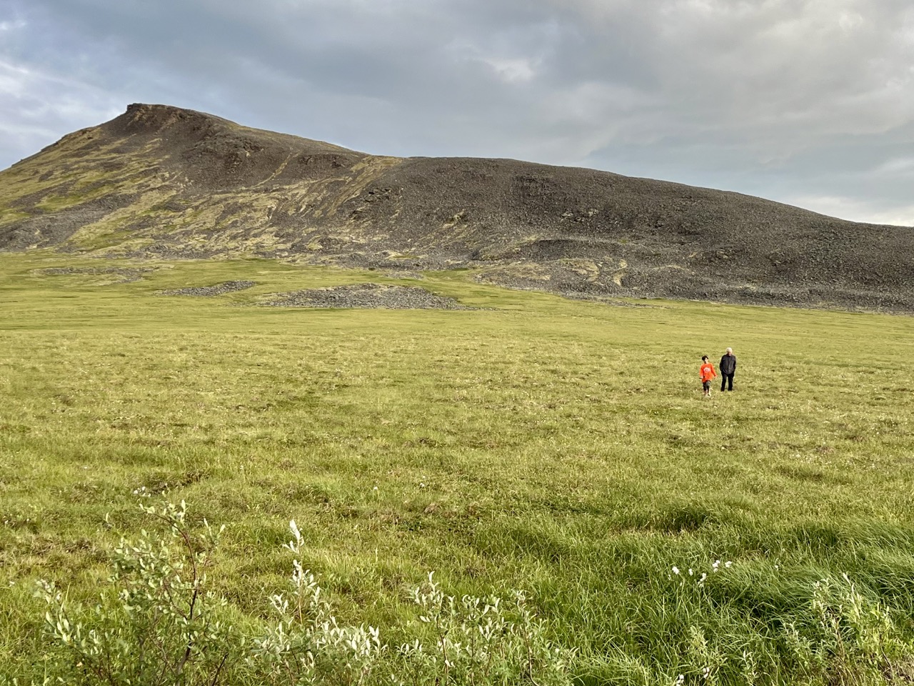
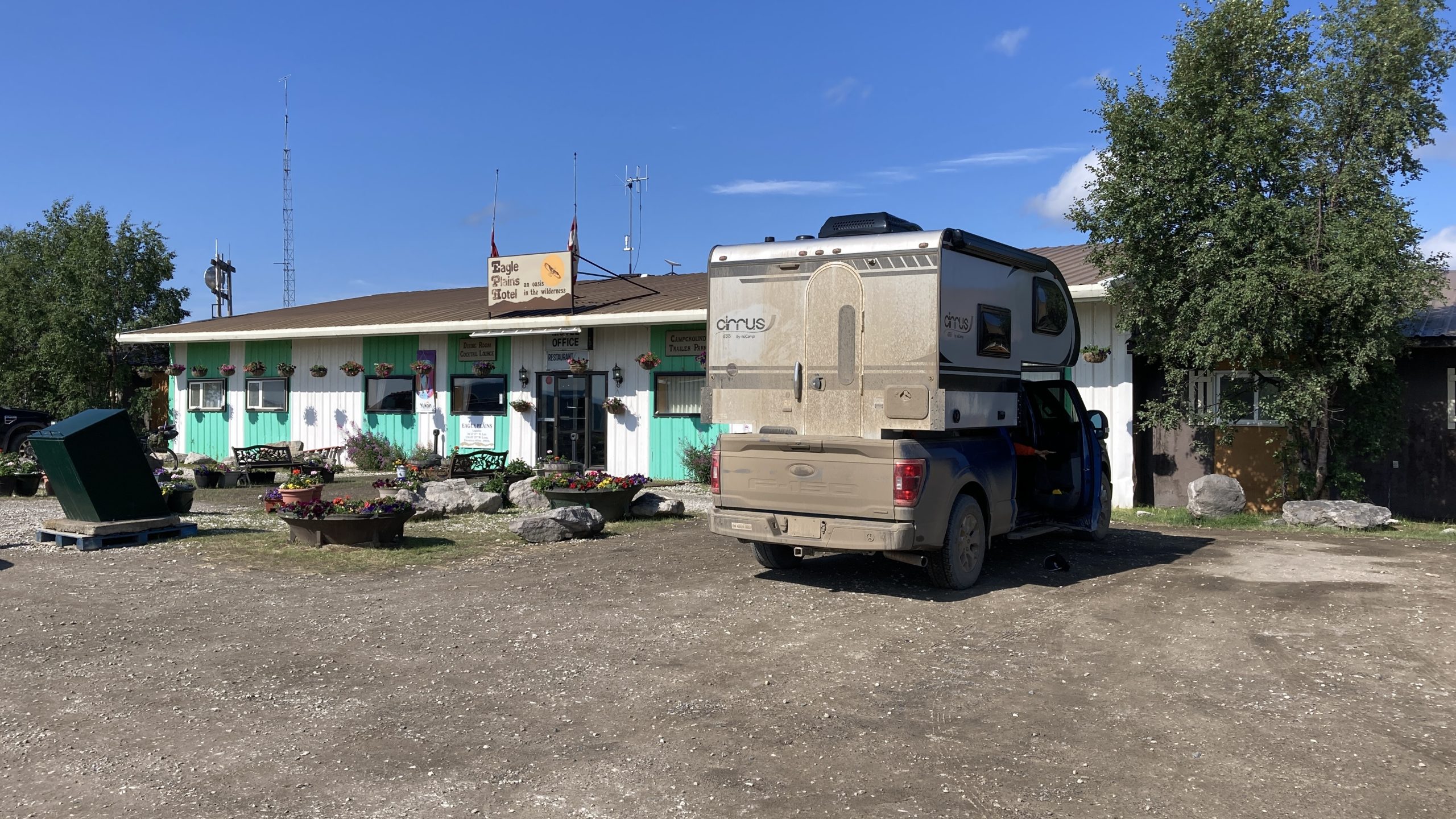
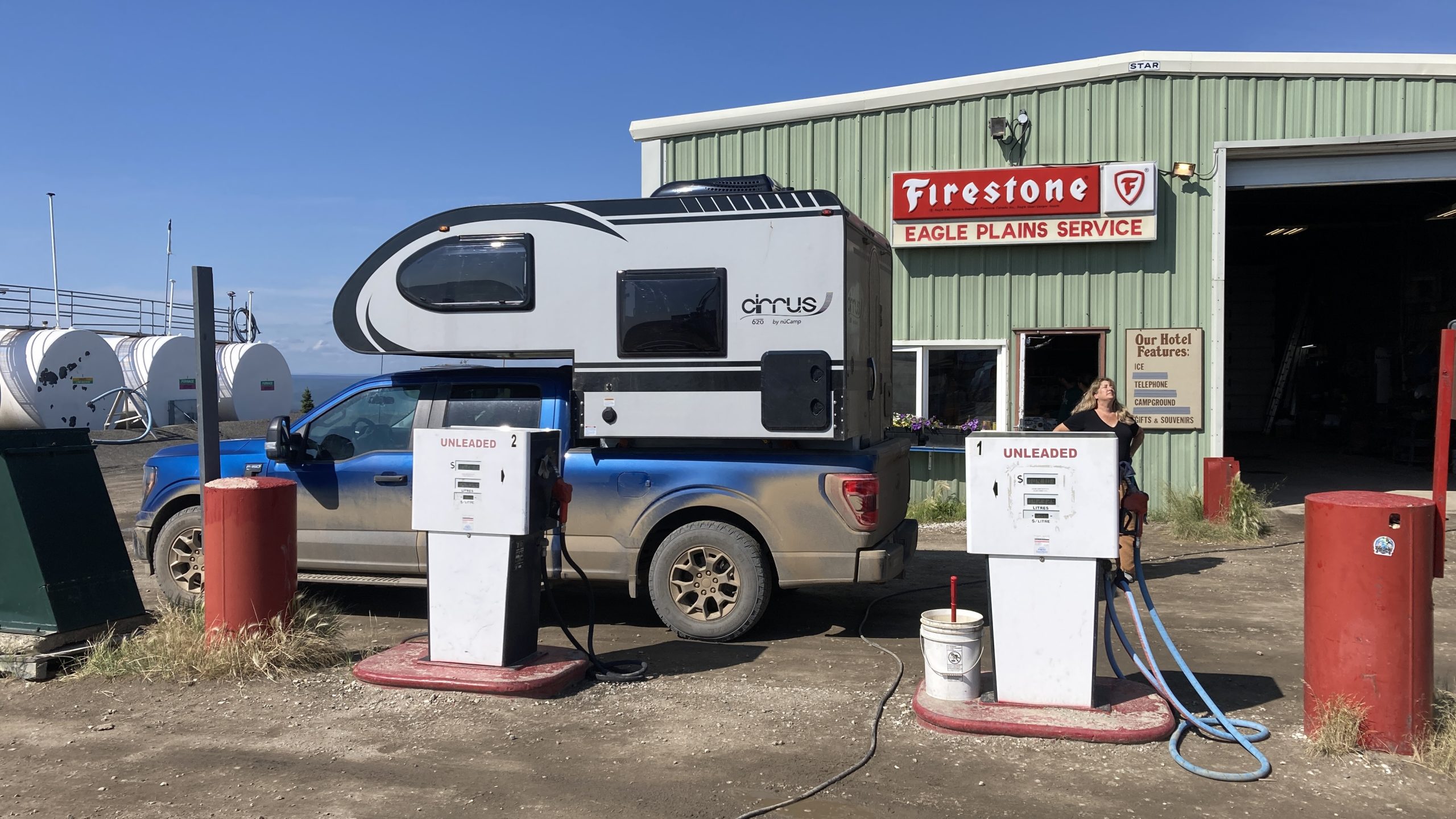
Burned areas from the fire we passed on the way up northWe stopped for the “night” at Wright Pass, on the border between Northwest Territories & Yukon Territory. We parked so the camper would be half in each territory according to the sign, but the map showed the real border was on the other side of the gravel lotLots of travelers leave their stickers at remote stopsJay and I hiked across the muskeg at Wright Pass. Although it looks like a smooth green meadow, it’s really a field of rocks covered with waterlogged moss so every step is an adventureWe found ourselves in a thick fog when we woke up. We waited for it to clear for a few hours, then a passing motorist told us we were in low clouds, and it cleared up 2 miles down the roadMiles and miles of miles and milesPortions of the Dempster Highway also serve as emergency airstripsThe Eagle Plains hotel & restaurant & bar & gas station, the only services for three hours to the north and five hours to the southWhen you’re the only gas station for hours in either direction there’s no point upgrading your 1970s pumps
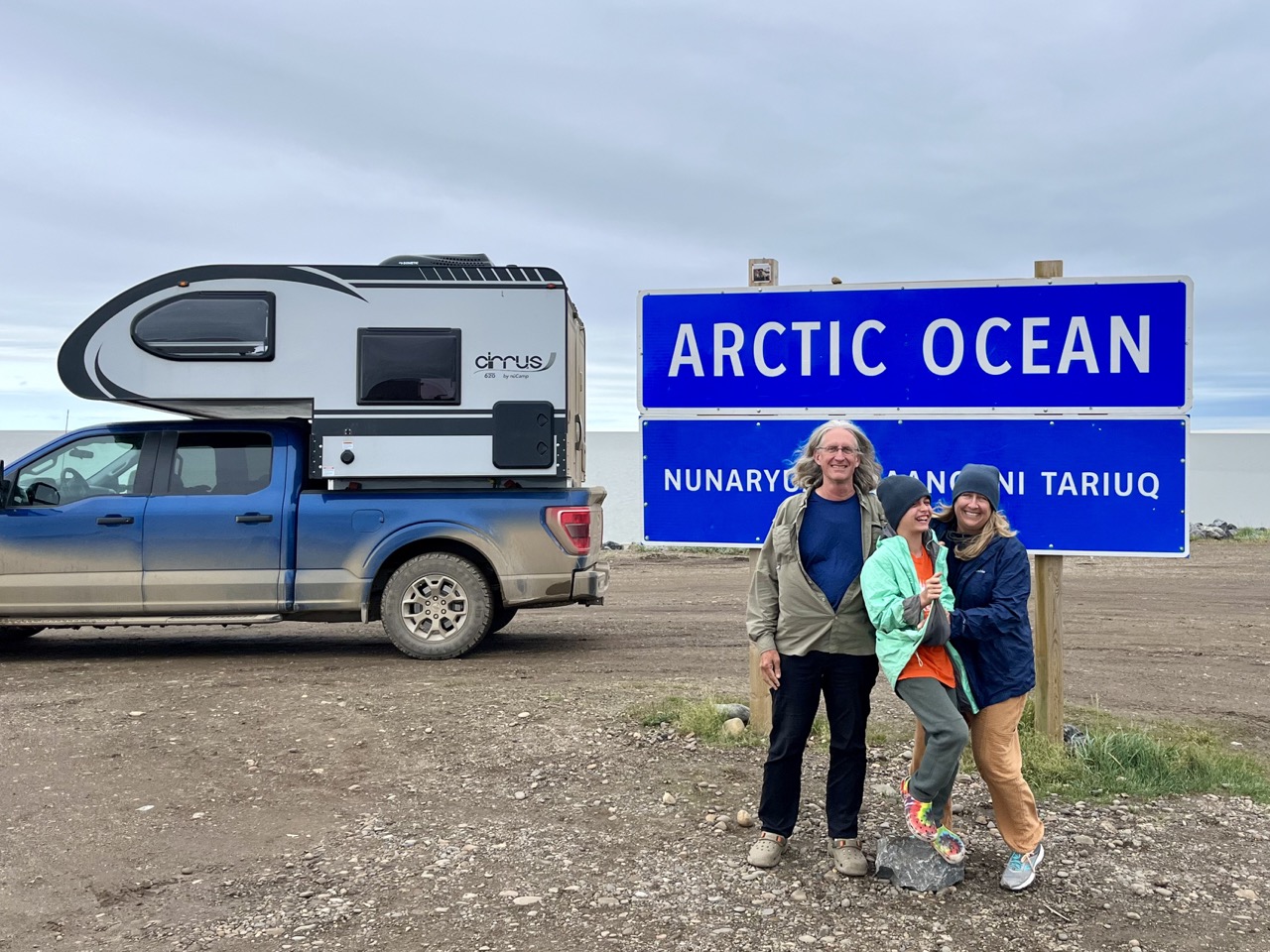
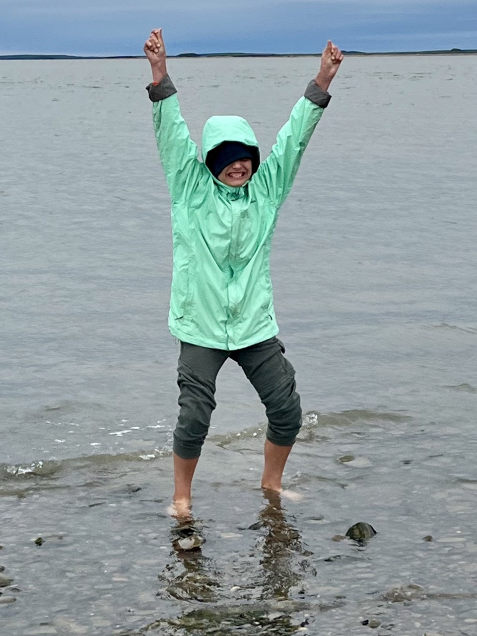
After we arrived in Tuktoyaktuk the first thing we did was wade into the Arctic Ocean. The water was warmer than I expected. It was like our backyard pool on cold days.
Wading in the Arctic Ocean
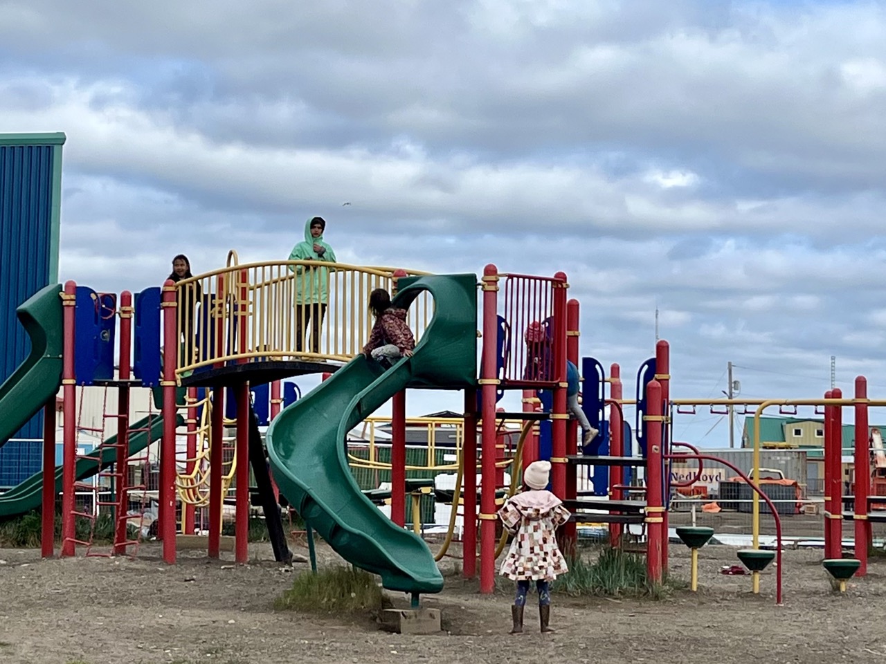
Next we walked around town and found a playground. I had a lot of fun playing tag and other games with some kids. There were a lot of things to climb on like a rope ladder. There was also a big swing set and a slide.
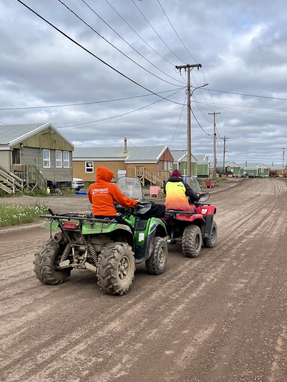
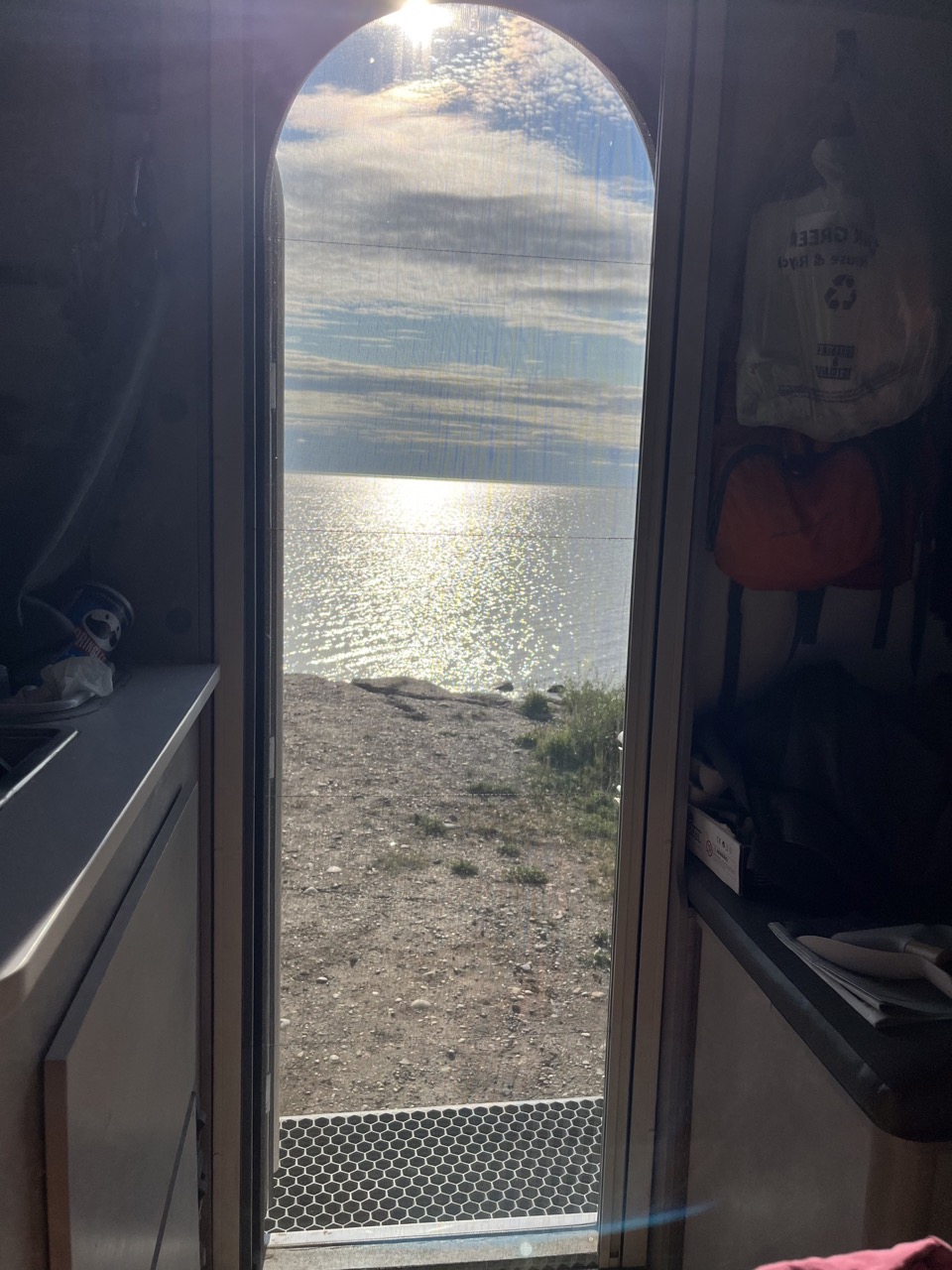
Playing with some Inuvialuit kidsLots of ATVs roaring around townView of the Arctic Ocean from the camper
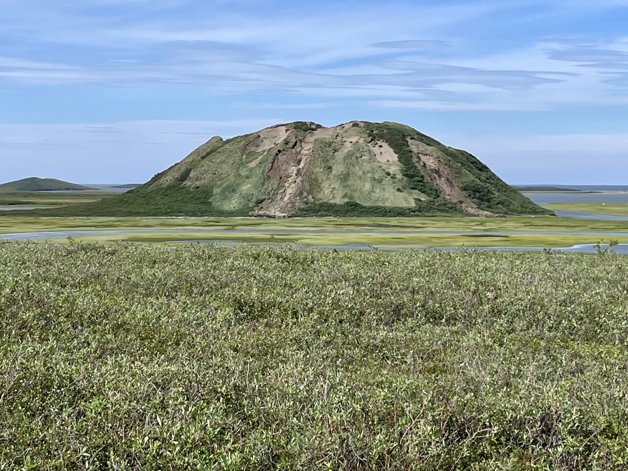
The next day it was Canada Parks Day. We joined the celebration at the Pingo Landmark. A pingo is a big mound of earth and ice. A pingo is formed when a lake mostly dries up but there is a disk of water left behind that freezes the lake bed and expands, pushing up the earth making a hump in the ground. This is the starting of a pingo. It keeps growing until the unfrozen ground turns to permafrost and the pingo has a core of pure ice.
Ibyuk, Canada’s tallest pingo and the second tallest pingo in the world
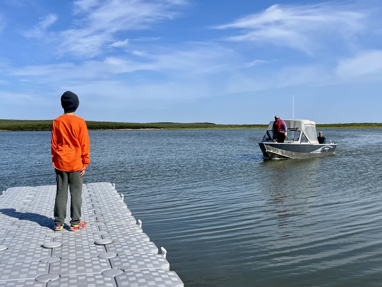
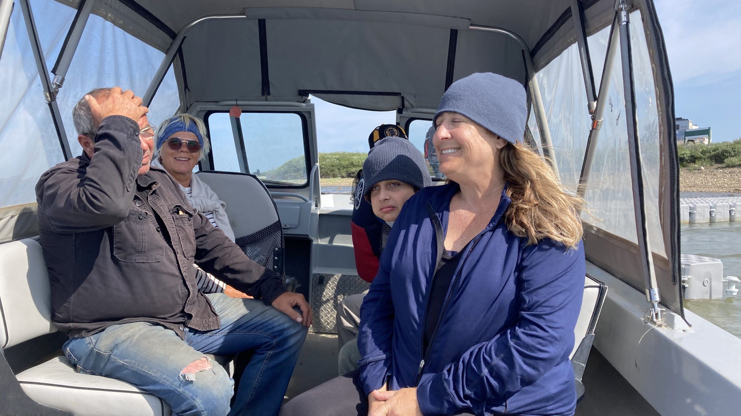
As part of the Parks Day celebration we got to take a boat across an estuary of the Arctic Ocean to see Ibyuk, Canada’s tallest pingo and the second tallest pingo in the world. Wow!
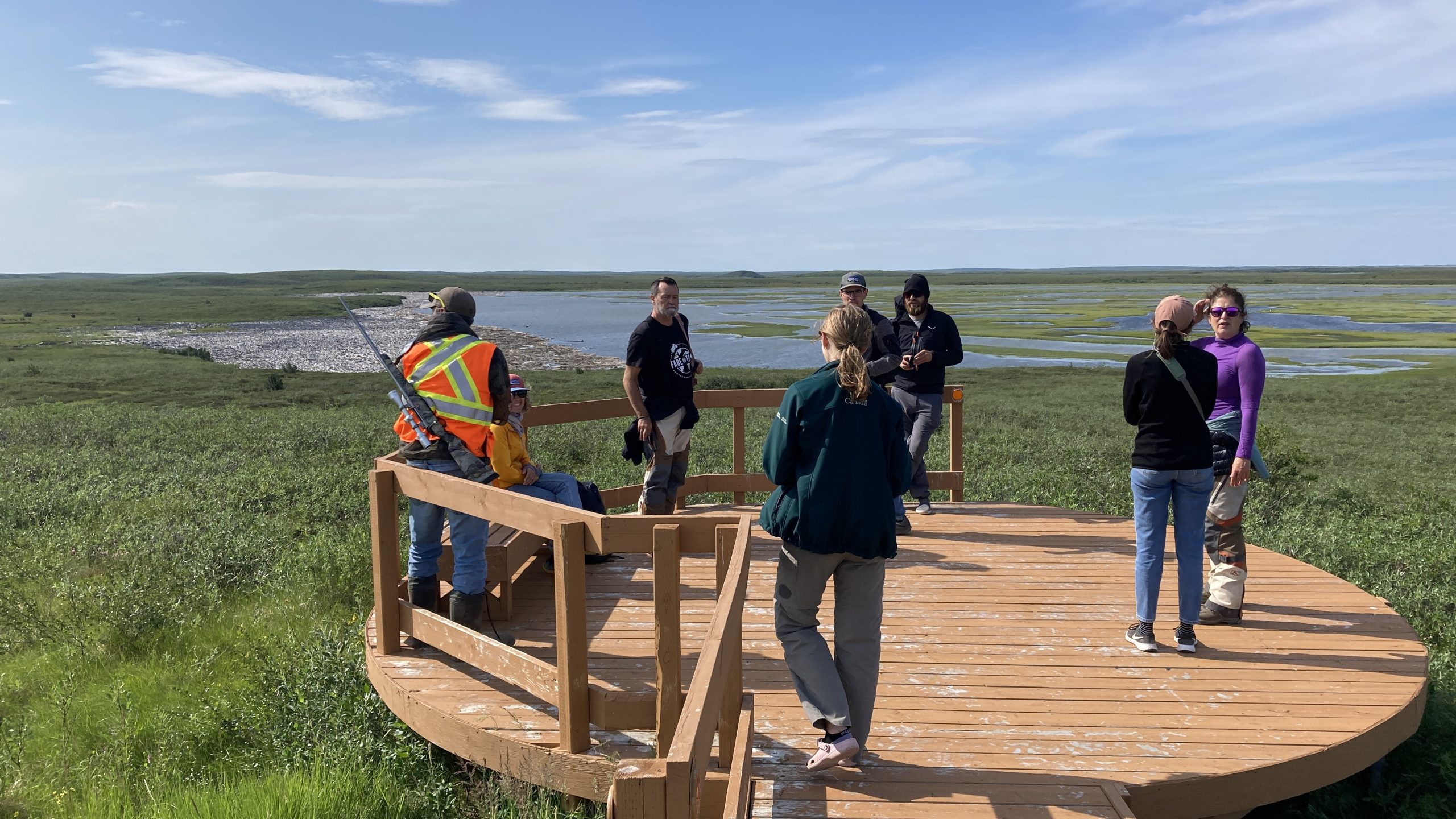
Pingo viewing platform. The guy with the rifle is there in case a Grizzly Bear shows up