Inuvik

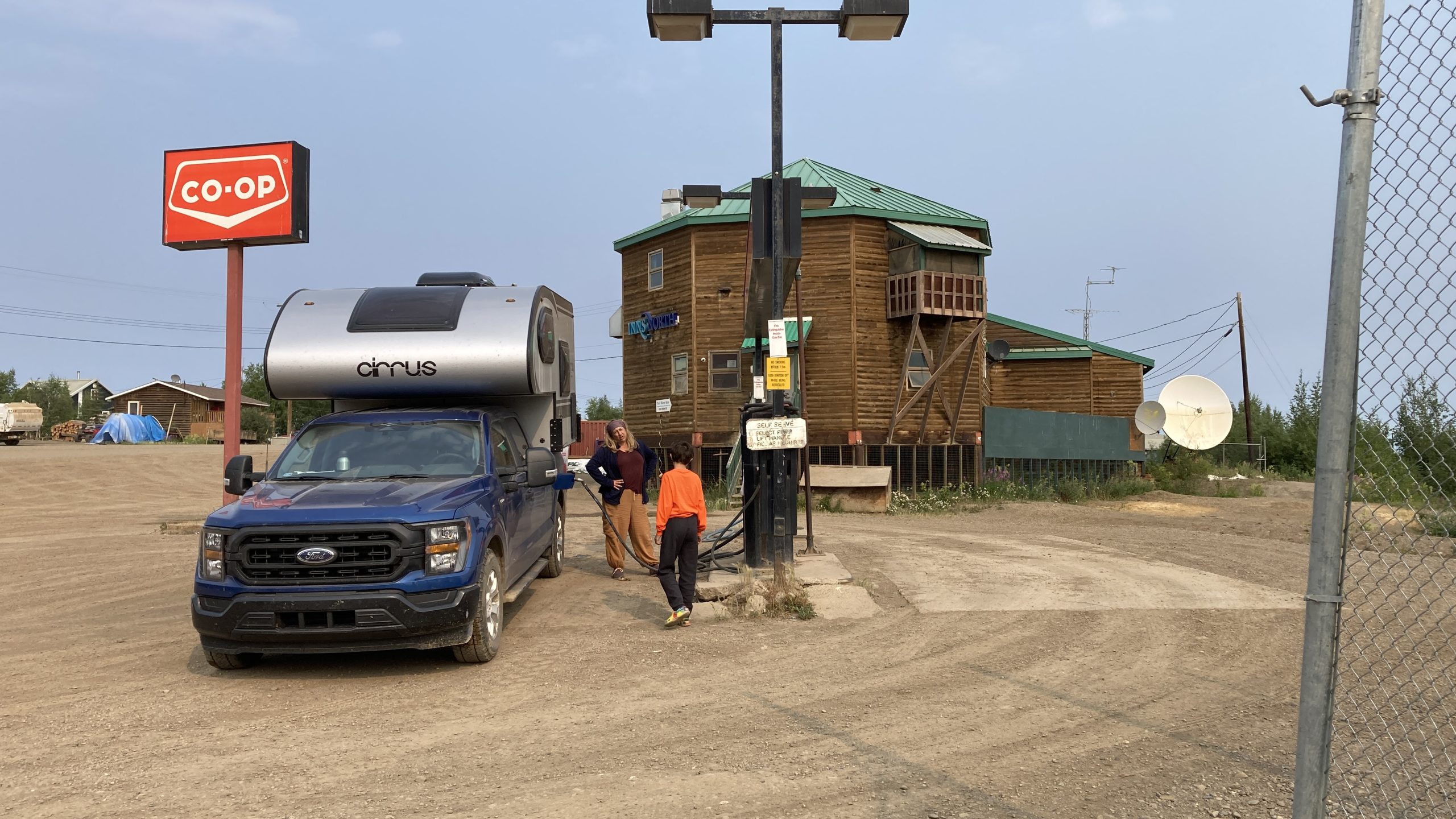
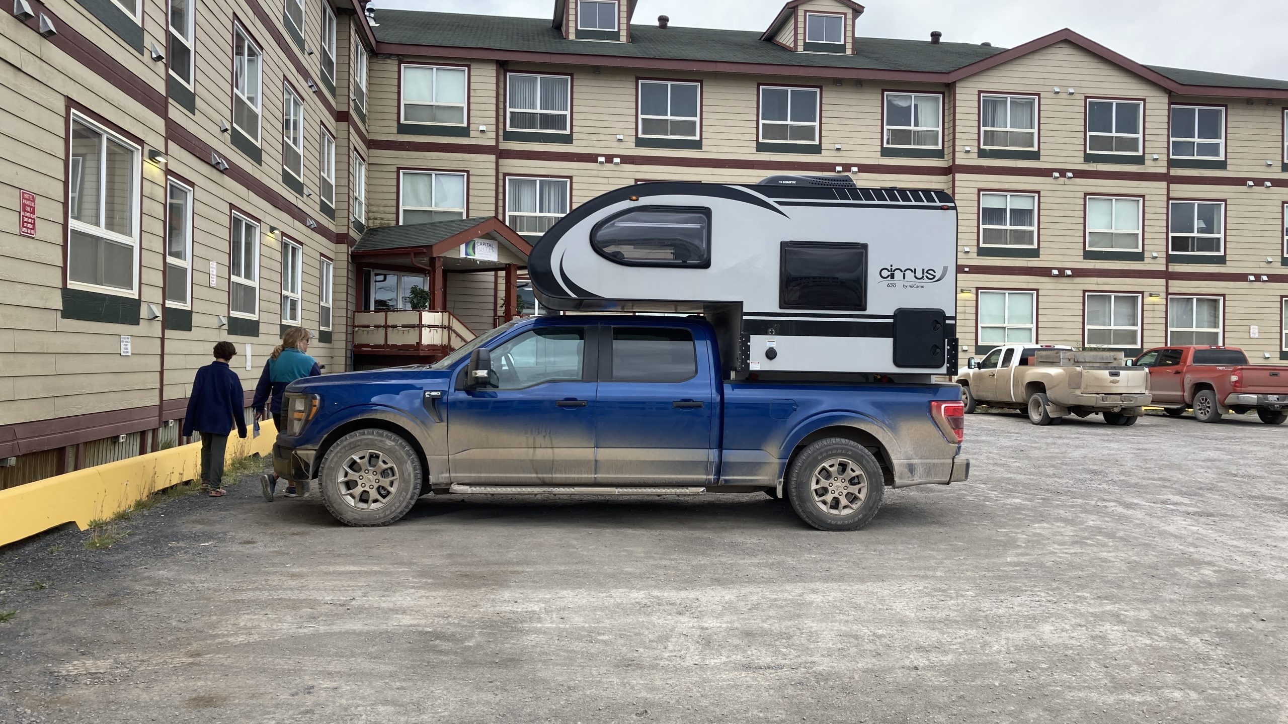
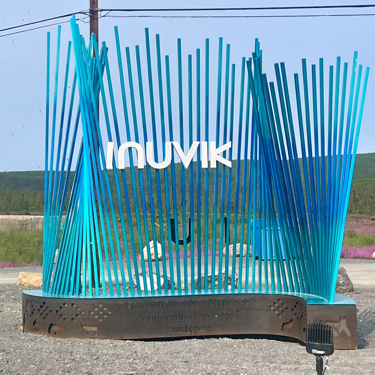
We decided to spend two nights in a hotel in Inuvik for many reasons: we wanted to financially support the community; we really wanted to have a bit more space; we really really needed showers; and we really really really wanted a break from the hordes of mosquitoes at north country campgrounds.

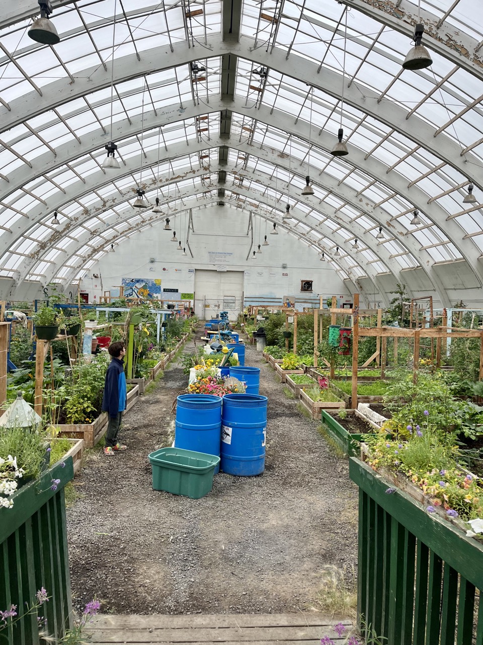
We left our comfy and spacious accommodations a few times to wander about town and eat at one of the two local restaurants. One of the highlights of our walking tour was visiting the community garden, which is housed in the old hockey arena. All kinds of vegetables are grown and the northernmost apple tree bears fruit.

The “Igloo Church”

We also enjoyed chatting with the locals and learning more about life up north, where the sun shines 24 hours each day for 56 straight days in the summer. In the winter they experience 30 days of complete darkness before celebrating the return of the sun in January. Pa adapted fairly well to the endless daylight; tween and I stayed awake until ridiculous hours. After a sleepless night we learned that the previous night there had been a community baseball game that began at midnight. Had we known, we would have loved to have been there!

Part of the utilidor system, above ground sewer and water lines because if they were buried they’d melt the permafrost and break

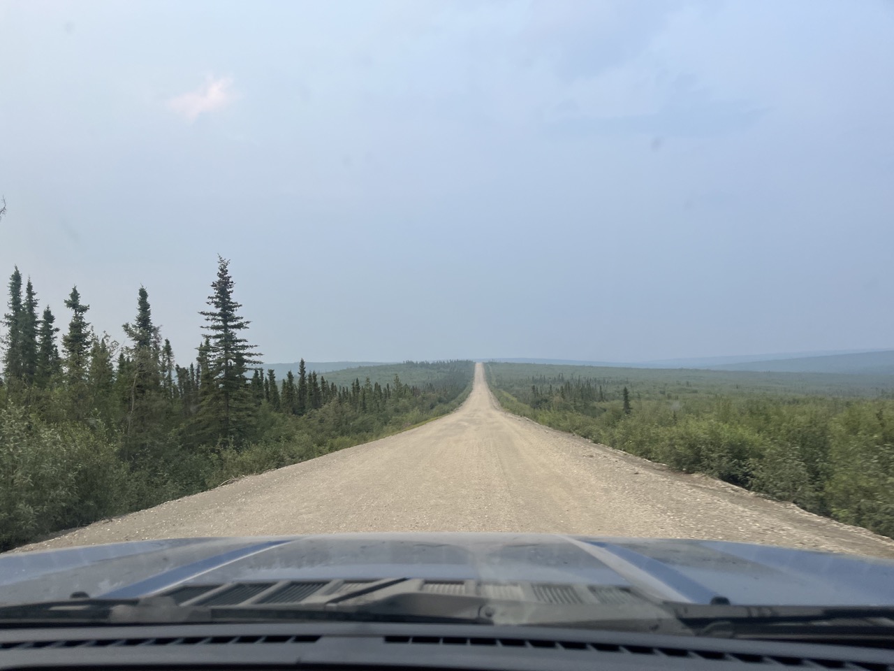
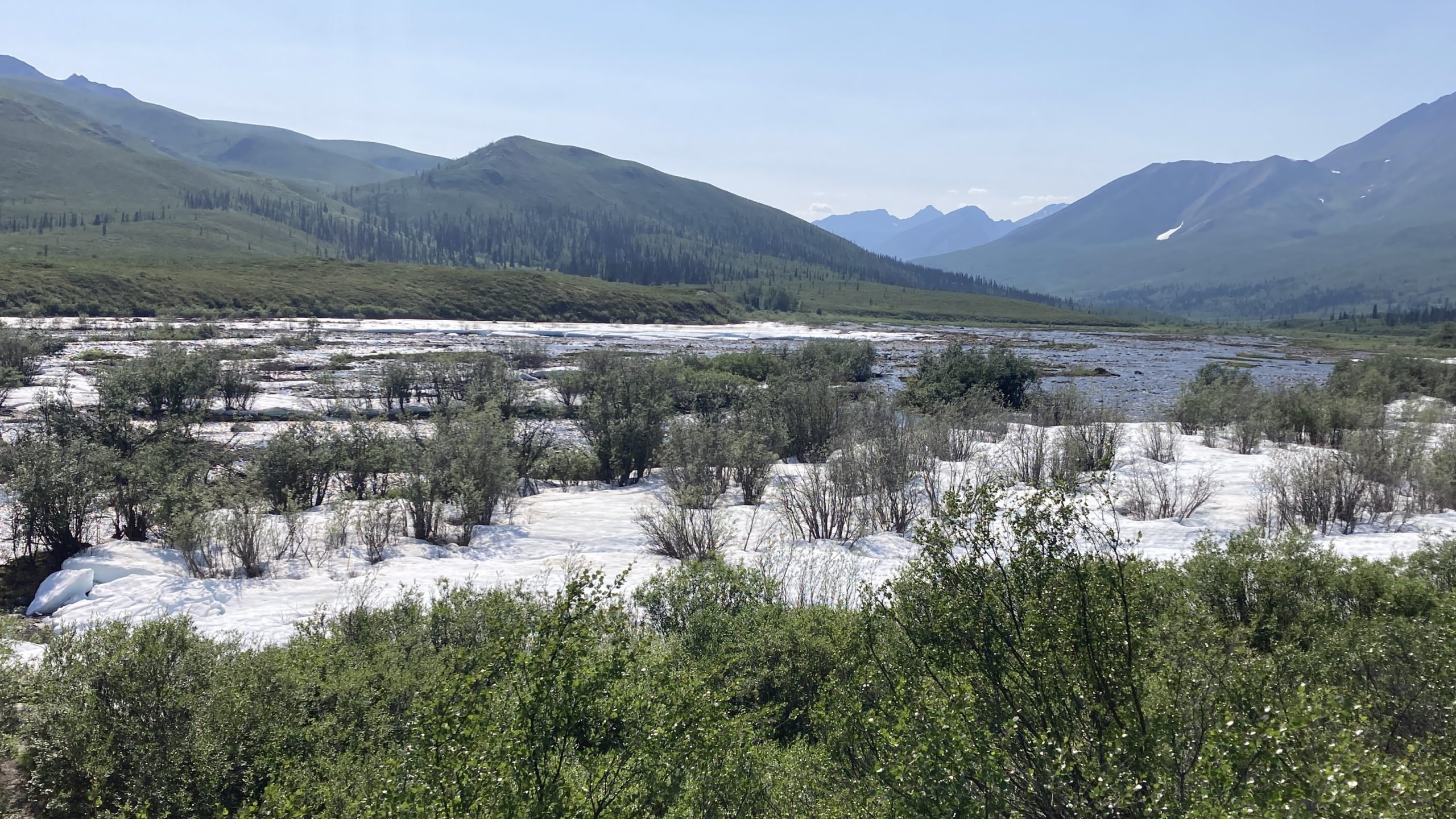
Next up is the 90 mile drive to Tuktoyaktuk, where the road ends and we get to the Arctic Ocean!

On to Inuvik

After a little sleep at Rock River Campground we got up, fed the mosquitos, had a hurried breakfast, and got going again.

After an hour or two we got to the wildfire that had closed the Dempster Highway. The wind was blowing the smoke away from the road, which was a good thing because in some places the fire was only a few hundred feet from the road.

Fire on the tundra

After we passed the fire three work trucks sped past us. Forty five minutes or so later we arrived at the Peel River ferry and were amused to see all three cooling their heels on the waiting ferry. We drove straight into the last spot and the ferry took off as soon as we had come to a complete stop. Nice.

Drive straight on and take off with no wait. That’s good service
Like the tourists we are, we had to get out and take pictures while the other drivers stuck to scrolling their phones like normal people

A bit past the Peel River ferry we got to tiny Fort McPherson, the first community with services since leaving Dawson City 367 miles earlier. We stopped at one of the two gas stations to fill our big tank at the price of CAD 2.11/liter, which works out to USD 6.04/gal.

Filling up in Fort McPherson
I love checking out the bulletin boards wherever we stop

A bit past Fort McPherson we got the the Mackenzie River ferry. I learned from one of our tourist guidebooks that the Mackenzie River, which I don’t think I’d ever heard of before now, is the third largest (in flow) river in the Americas, after the Amazon and the Mississippi.

We’re such tourists; the only people to get out of our car while waiting for the ferry

Time to stop gawking and get back in the truck
Gotta get out and take pics

After that last ferry we had a few hours of easy driving to Inuvik through the tundra on probably the best gravel road we’ve ever driven on. It was a smoother ride than a lot of roads in Tucson and it was easy to cruise along at 55 mph.

Having had enough of sleepless nights, mosquitos, and dust, the first thing we did when we got to Inuvik was check into the Capital Suites Hotel and take our first showers in nine days.

Capital Suites Hotel

Let’s go!

We decided to wait until the Dempster reopened before leaving Tombstone Territorial Park, so we settled down to wait. I took a nap in the afternoon and when I woke up around 5pm I decided to check the Government of Northwest Territories Dept. of Infrastructure Twitter account to see if there was any news:

Even though it was late in the day, it never gets dark this time of year up here so we decided to start driving up the Dempster and stop when we got tired.

Hundreds of miles of gravel road, or as the joke goes, miles and miles of miles and miles
What it looks like when someone passes you on the Dempster
Nothing quite like a heavily loaded semi roaring past on a gravel road. Note the steel elk/moose/caribou catcher protecting the engine from wildlife encounters

Around 10pm we got to the Eagle Plains roadhouse (a combo hotel, restaurant, bar, gas station, mechanic, and campground), the only services in the 367 mile stretch between Dawson City and Fort McPherson. Everything but the bar was closed. The bartender said the Dempster was still open so we kept going.

We made a quick stop at the Arctic Circle around 11pm to take some pics but didn’t linger because the mosquitos were pretty bad. The Arctic Circle is the lowest latitude where the sun doesn’t set on the Summer Solstice (June 21)

Around 1am it was still light, but we decided we’d had enough and stopped at Rock River Territorial Campground. The mosquitos were much worse than at the Arctic Circle. The second any of us stepped outside swarms of mosquitos started feeding on us. Every time we opened the door for a second or two dozens of mosquitos got into the rig and we all had to spend a few minutes killing mosquitos. After we finished the last mosquito massacre we did our best to get a good night’s sleep despite the sun still being up.

What 1am looks like above the Arctic Circle in July

Best hike ever

At our first stop on the Dempster Highway, on our way to the Arctic Ocean, we went on a very long and tiring hike. After a hot and long journey we finally found … snow?

Starting out on the hike
What’s that white stuff?
Snow!

Yes, there was snow when it was eighty degrees! We raced out in the snow and ate it, threw it, and put it down our shirts. I loved playing in the snow and getting refreshed!

30C is 86F