We did the 575 mile drive back down the gravel Dempster Highway from Tuktoyaktuk to Dawson City in two long driving days.
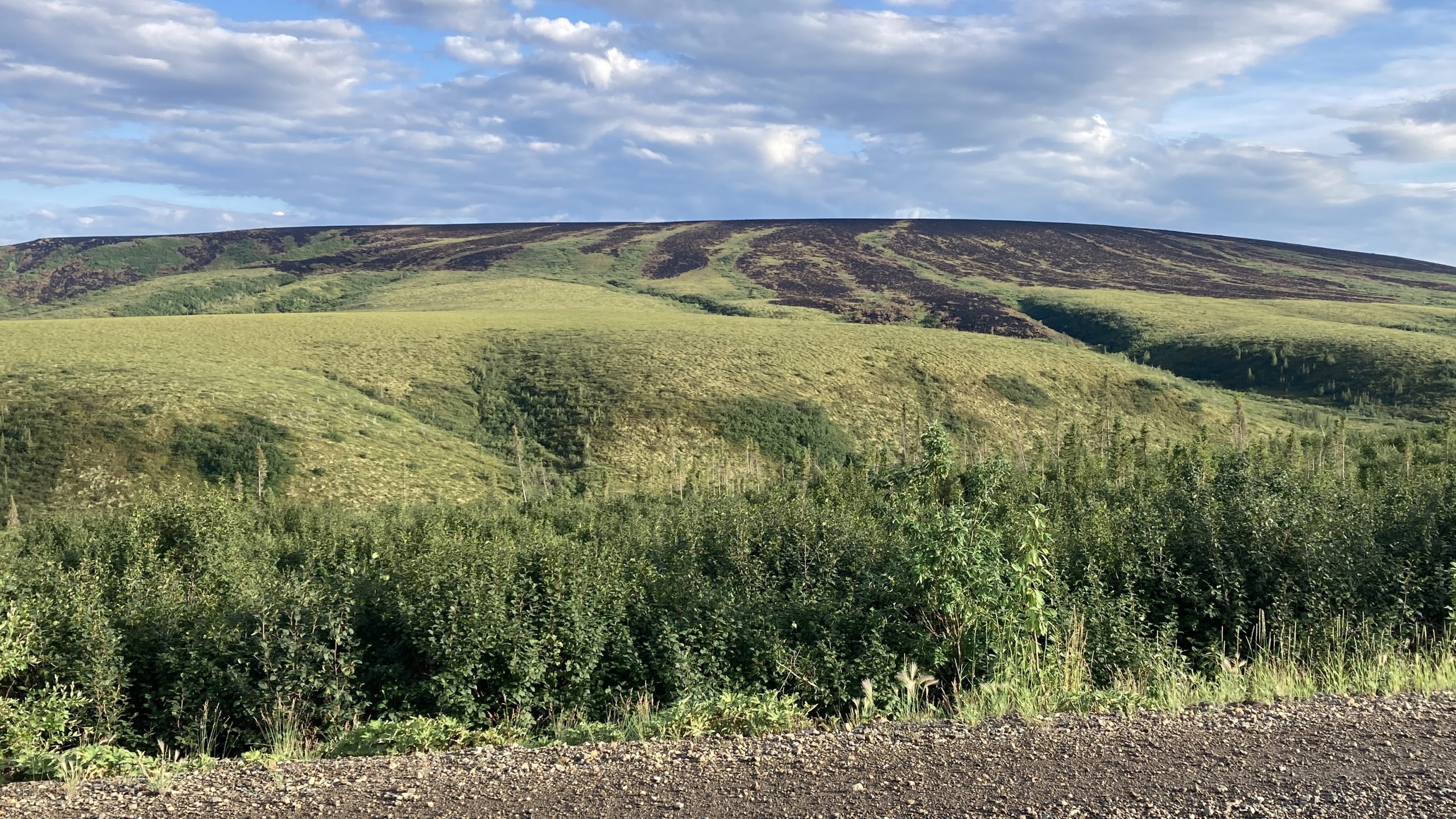
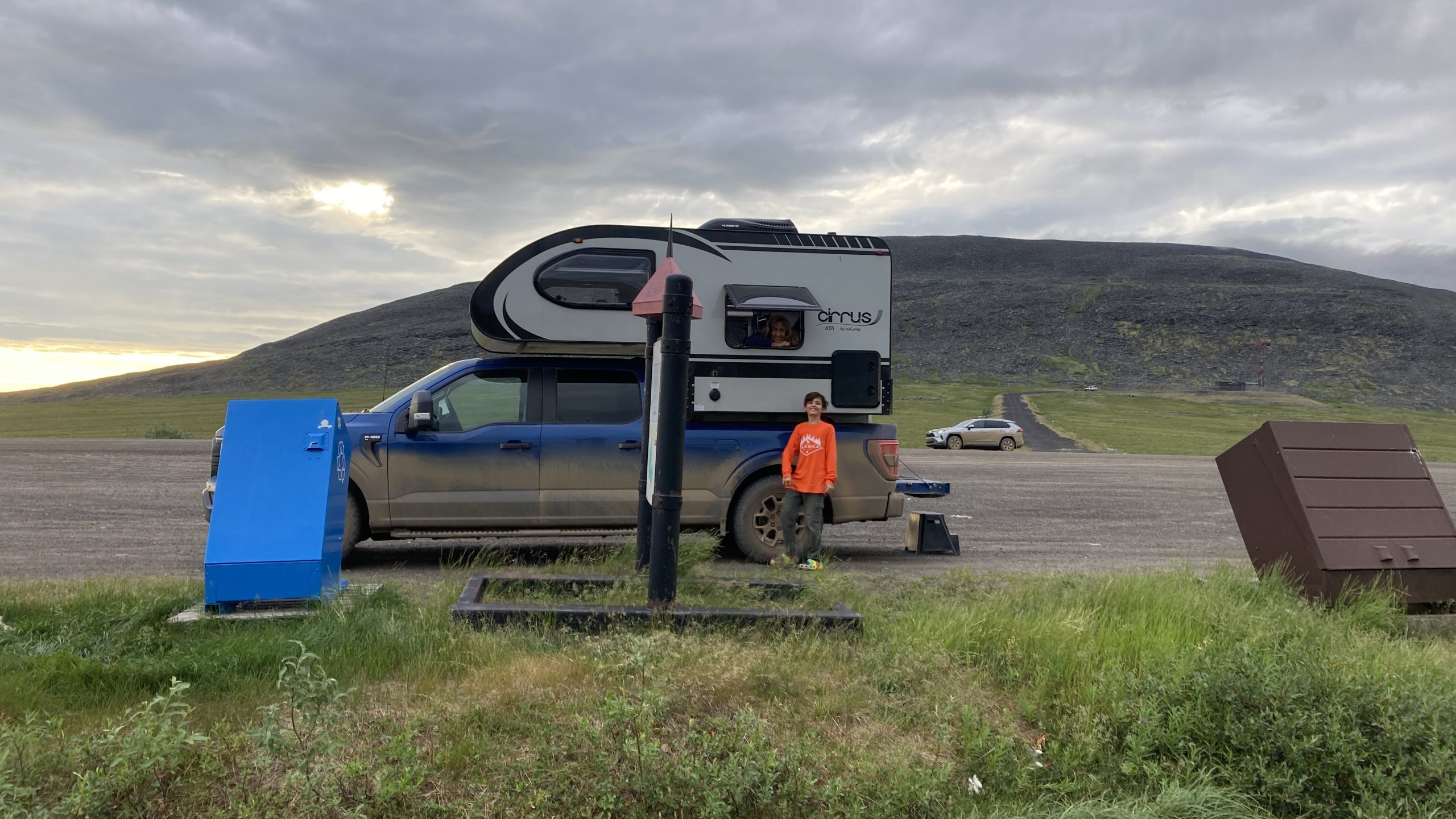
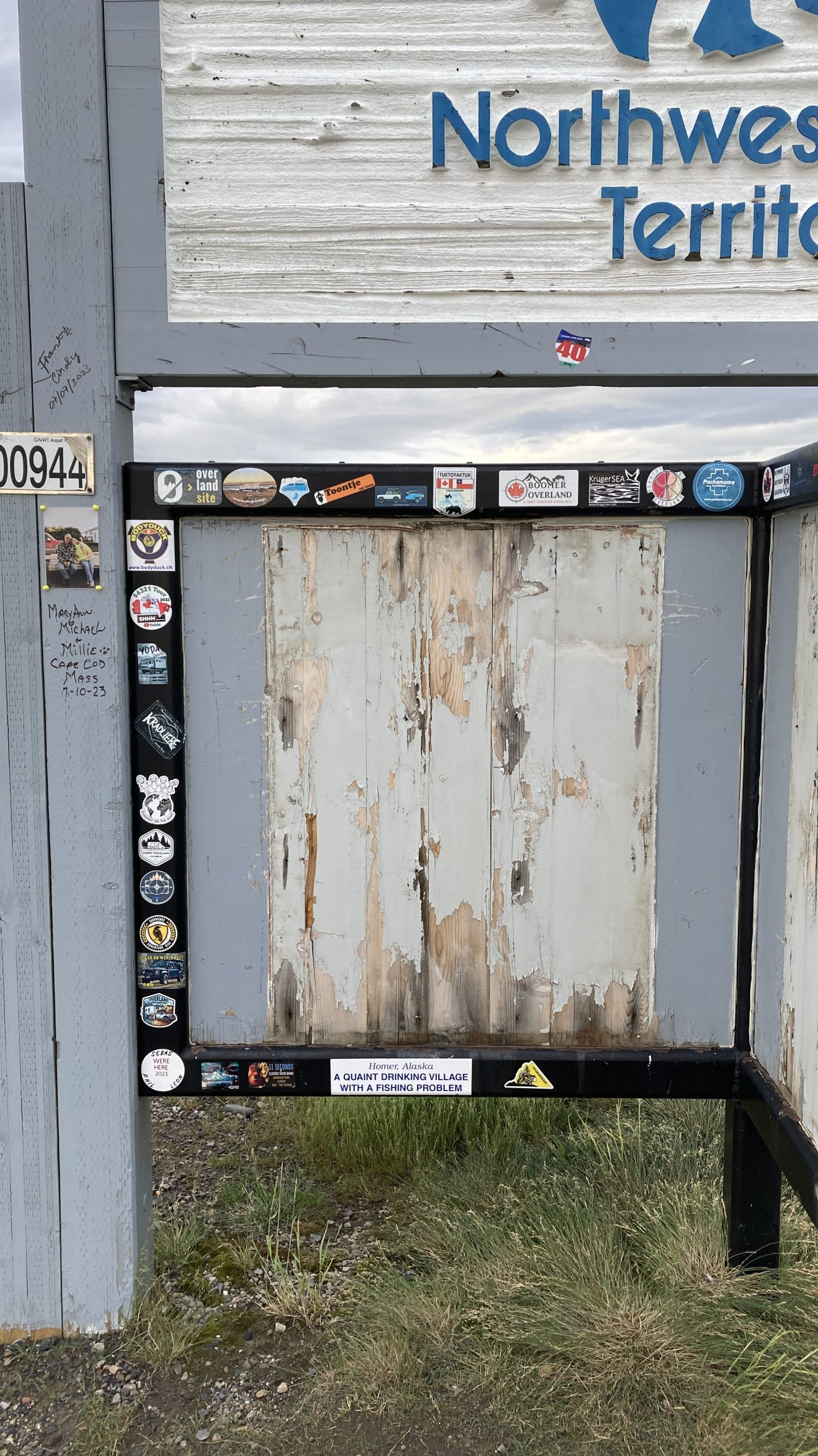
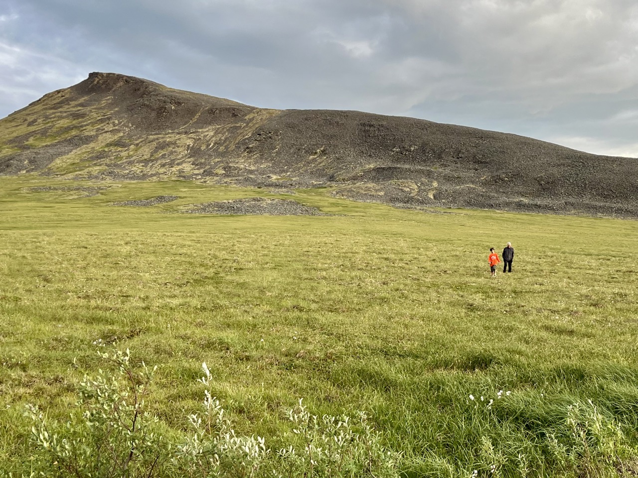
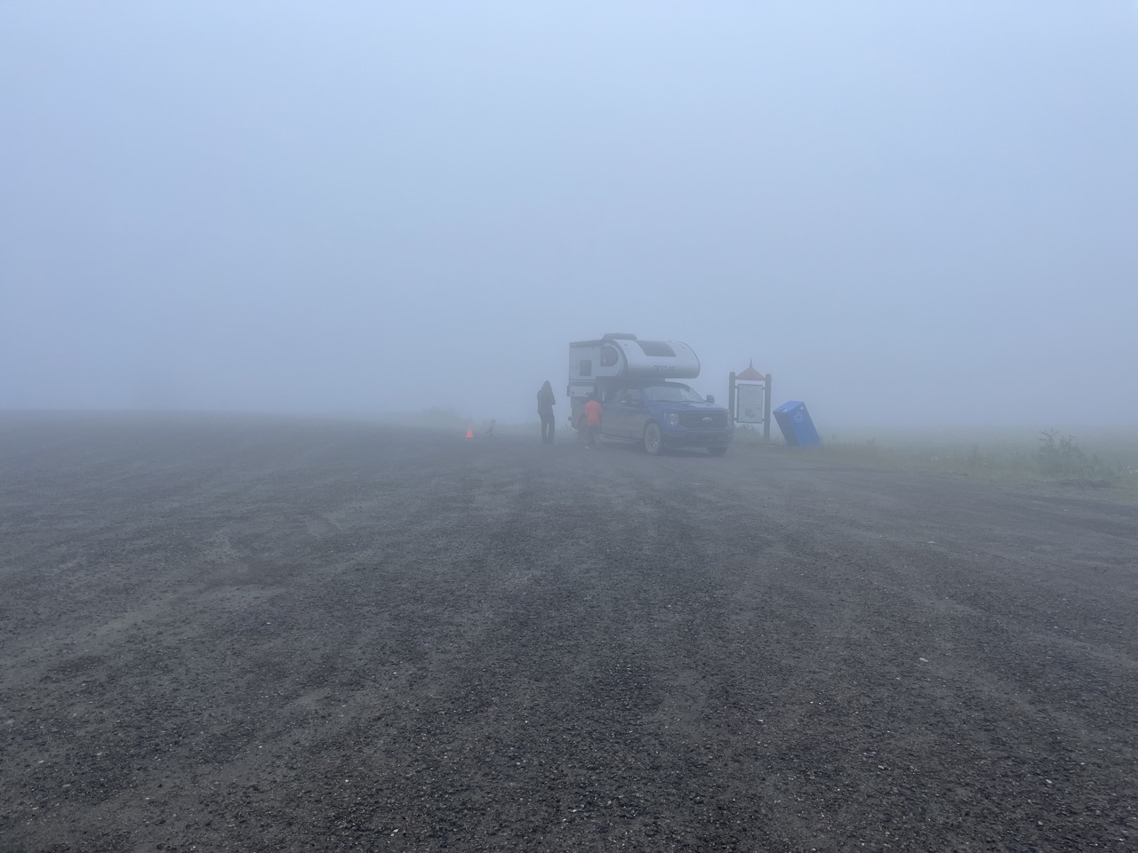
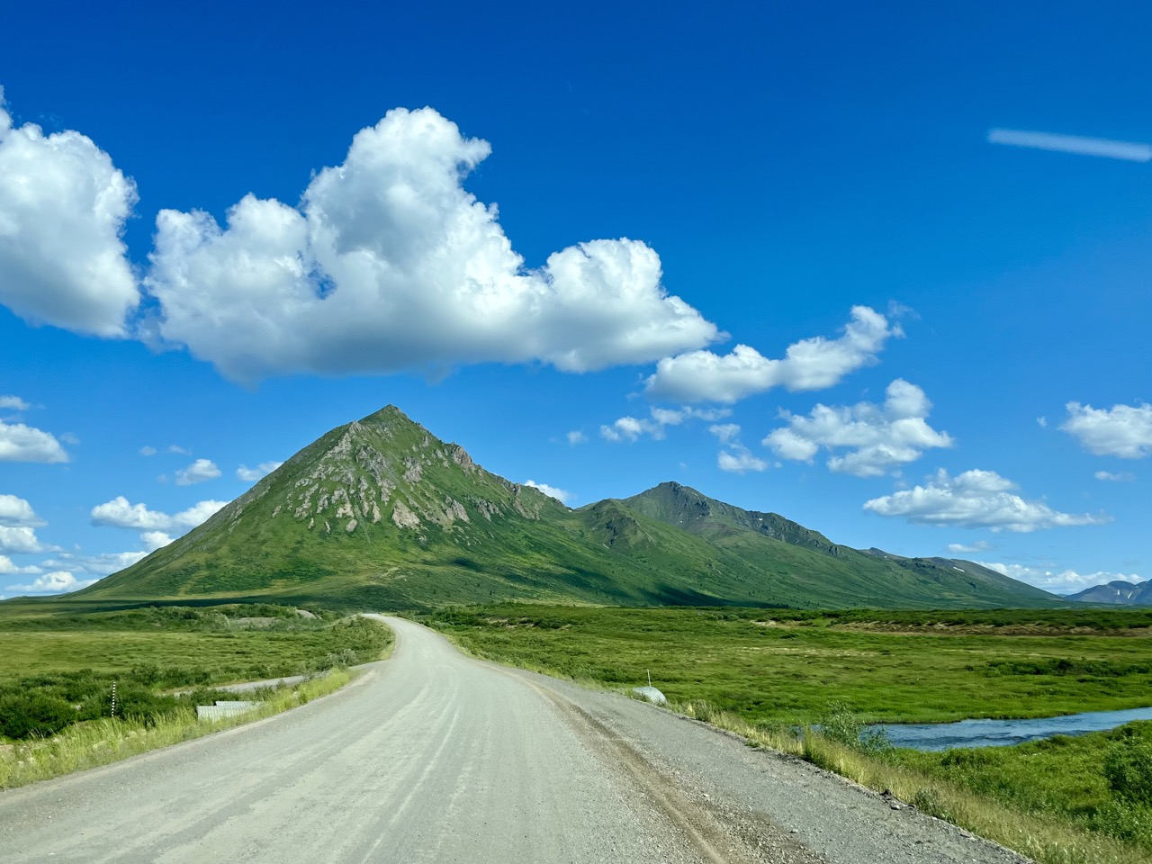
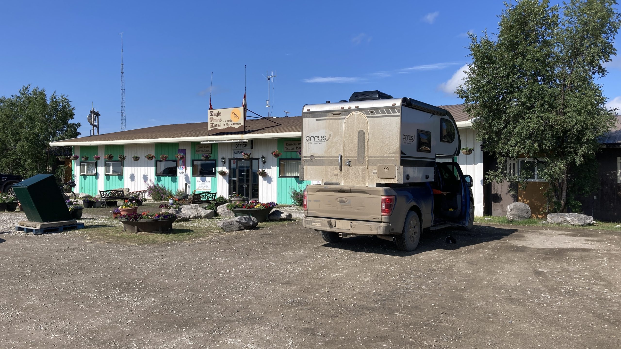
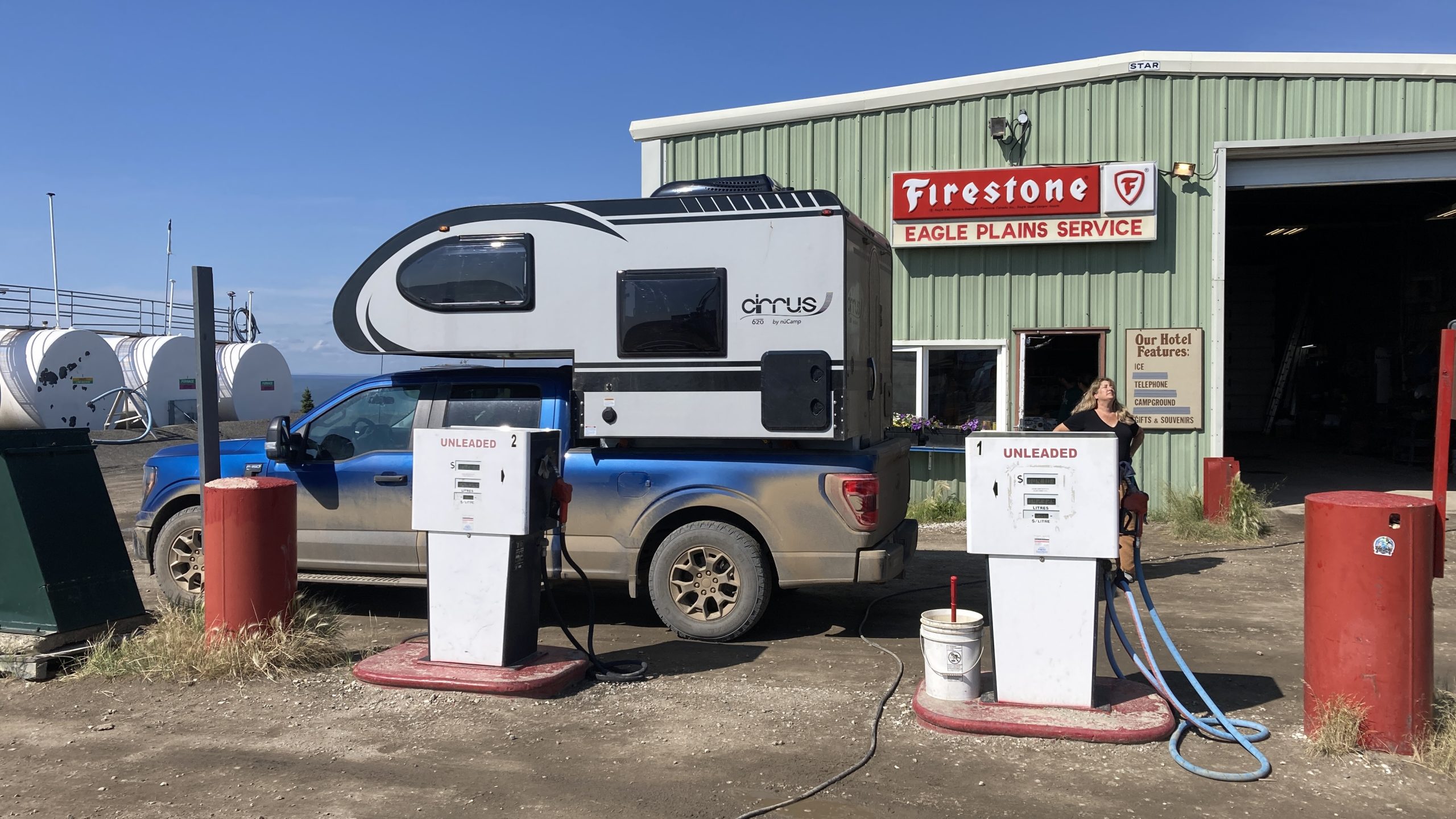
Burned areas from the fire we passed on the way up northWe stopped for the “night” at Wright Pass, on the border between Northwest Territories & Yukon Territory. We parked so the camper would be half in each territory according to the sign, but the map showed the real border was on the other side of the gravel lotLots of travelers leave their stickers at remote stopsJay and I hiked across the muskeg at Wright Pass. Although it looks like a smooth green meadow, it’s really a field of rocks covered with waterlogged moss so every step is an adventureWe found ourselves in a thick fog when we woke up. We waited for it to clear for a few hours, then a passing motorist told us we were in low clouds, and it cleared up 2 miles down the roadMiles and miles of miles and milesPortions of the Dempster Highway also serve as emergency airstripsThe Eagle Plains hotel & restaurant & bar & gas station, the only services for three hours to the north and five hours to the southWhen you’re the only gas station for hours in either direction there’s no point upgrading your 1970s pumps